Transport Functions
Road
Multimodal
Hub Profile
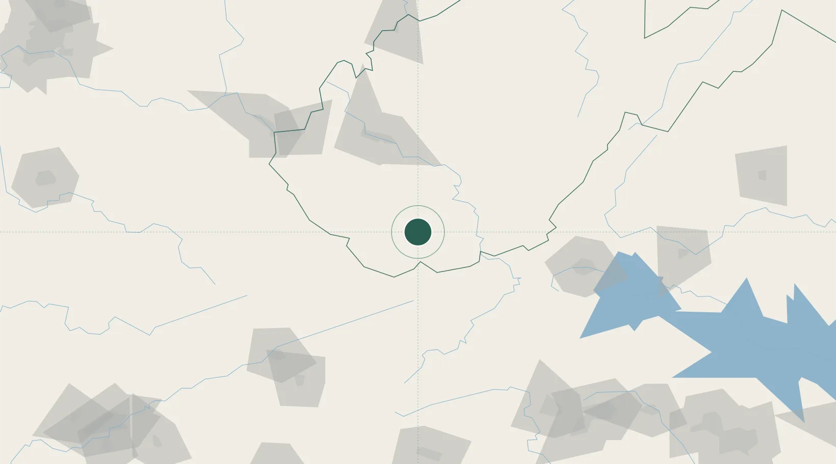
Place type
Populated place
Region
West Virginia
Population
1,464
Time zone
America/New_York
Elevation
432 m
Location
Nearby Logistics Neighbours
Cities
- 1Tams10 km
- 2Mabscott26 km
- 3Daniels29 km
- 4Roderfield33 km
- 5Pax37 km
Ports
- 1Richmond350 km
- 2Fredericksburg354 km
- 3Alexandria404 km
- 4West Point404 km
- 5Washington D.C.406 km
Airports
Trade Zones
- 1FTZ No. 238 Dublin81 km
- 2FTZ No. 229 Charleston89 km
- 3FTZ No. 204 Tri-Cities153 km
- 4FTZ No. 230 Piedmont Triad Area190 km
- 5FTZ No. 057 Mecklenburg County260 km
DatabookThe Record of Consolidated Knowledge
United States beyond logistics?