UN/LOCODE hub · United States
USTZV
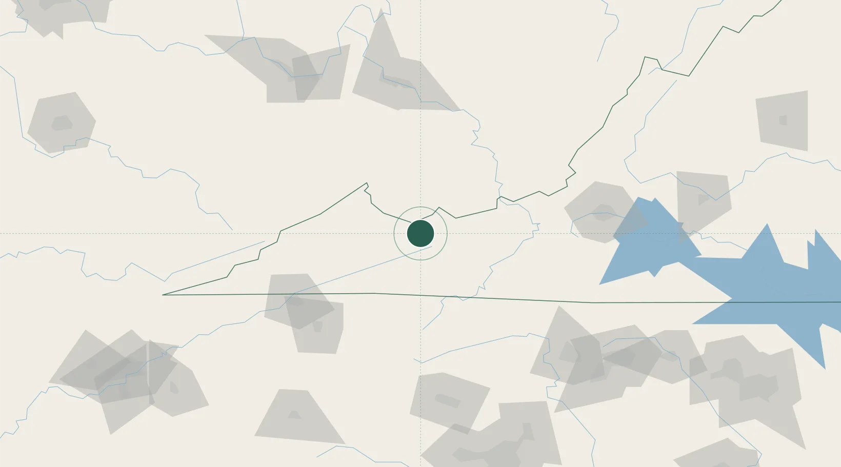
Tazewell
37.1167°, -81.5167°
4,421
Population
2
Transport functions
Transport Functions
Rail
Road
Hub Profile
Place type
Provincial seat
Region
Virginia
Population
4,421
Time zone
America/New_York
Elevation
763 m
Location
Nearby Logistics Neighbours
Cities
- 1Bluefield25 km
- 2Ennice29 km
- 3Bluefield29 km
- 4Clifton31 km
- 5Swords Creek37 km
Ports
- 1Richmond366 km
- 2Fredericksburg381 km
- 3West Point420 km
- 4Alexandria435 km
- 5Washington436 km
Airports
Trade Zones
- 1FTZ No. 238 Dublin72 km
- 2FTZ No. 204 Tri-Cities106 km
- 3FTZ No. 229 Charleston138 km
- 4FTZ No. 230 Piedmont Triad Area160 km
- 5FTZ No. 057 Mecklenburg County210 km
DatabookThe Record of Consolidated Knowledge
United States beyond logistics?