Transport Functions
Port
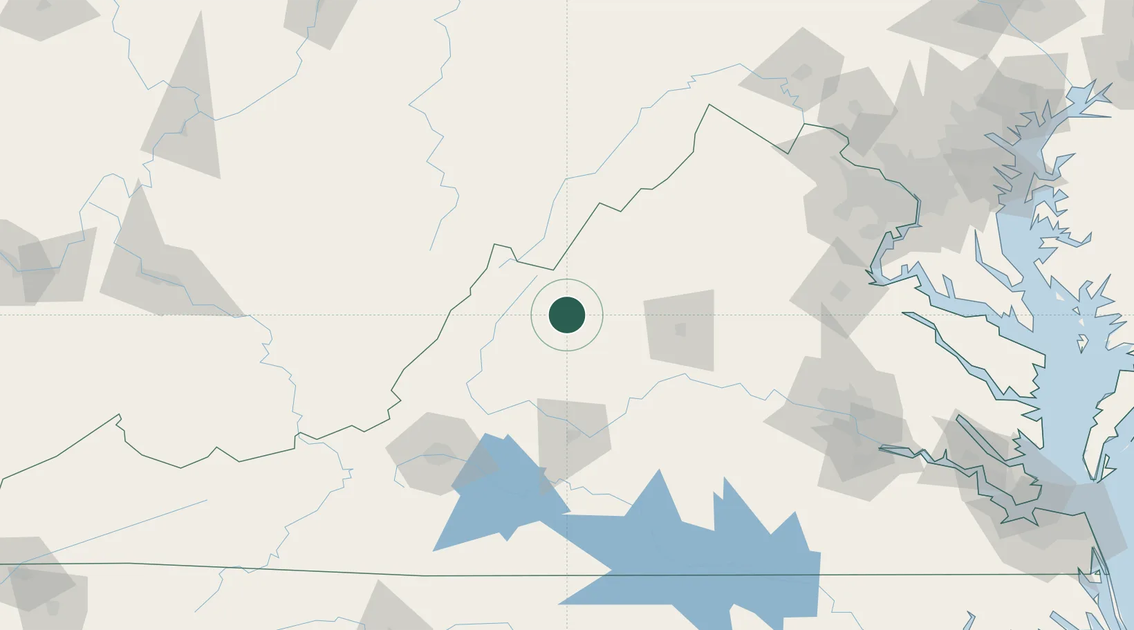
Hub Profile
Place type
Populated place
Region
Virginia
Time zone
America/New_York
Elevation
494 m
Location
Nearby Logistics Neighbours
Cities
- 1Augusta Springs12 km
- 2Stuarts Draft21 km
- 3Crimora31 km
- 4Bridgewater32 km
- 5Goshen32 km
Ports
- 1Fredericksburg154 km
- 2Richmond171 km
- 3Alexandria202 km
- 4Washington D.C.205 km
- 5West Point222 km
Airports
Trade Zones
- 1FTZ No. 185 Culpeper County107 km
- 2FTZ No. 207 Richmond160 km
- 3FTZ No. 137 Washington Dulles International Airport176 km
- 4FTZ No. 238 Dublin177 km
- 5FTZ No. 240 Martinsburg179 km
DatabookThe Record of Consolidated Knowledge
United States beyond logistics?