UN/LOCODE hub · United States
USUXX
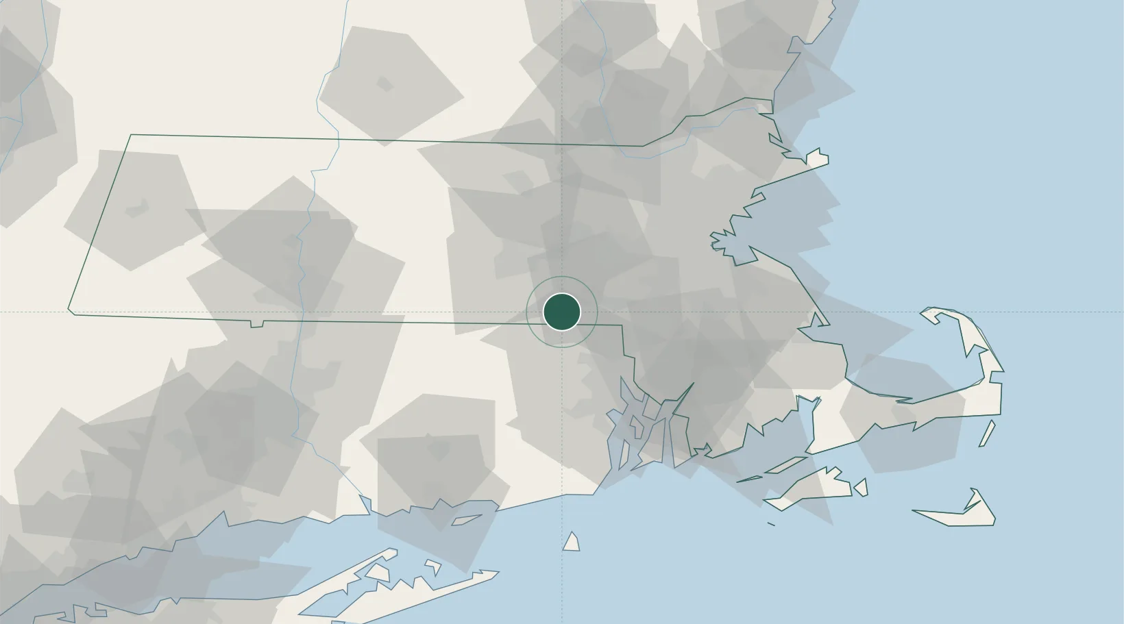
Uxbridge
42.0667°, -71.6167°
12,614
Population
3
Transport functions
Transport Functions
Port
Rail
Road
Hub Profile
Place type
Populated place
Region
Massachusetts
Population
12,614
Time zone
America/New_York
Elevation
74 m
Location
Nearby Logistics Neighbours
Ports
- 1Providence35 km
- 2Bristol53 km
- 3Davisville Depot53 km
- 4Fall River55 km
- 5Boston56 km
Airports
Trade Zones
DatabookThe Record of Consolidated Knowledge
United States beyond logistics?