Transport Functions
Rail
Road
Hub Profile
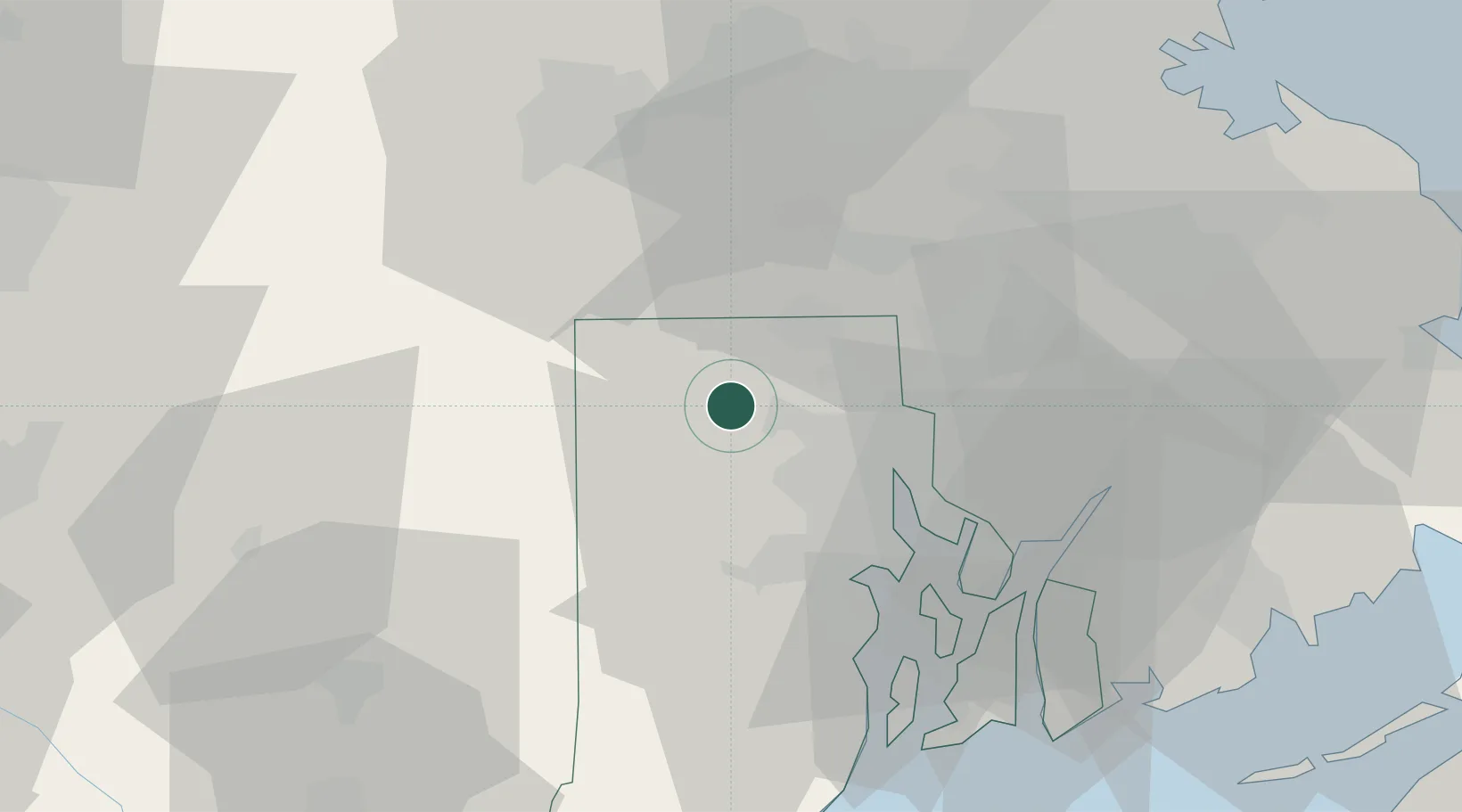
Place type
Populated place
Region
New York
Time zone
America/New_York
Elevation
132 m
Location
Nearby Logistics Neighbours
Cities
- 1Foster15 km
- 2West Glocester15 km
- 3Saylesville17 km
- 4Uxbridge19 km
- 5Fiskeville19 km
Ports
- 1Providence20 km
- 2Davisville Depot36 km
- 3Bristol38 km
- 4Quonset Point39 km
- 5Fall River42 km
Airports
Trade Zones
DatabookThe Record of Consolidated Knowledge
United States beyond logistics?