Transport Functions
Multimodal
Hub Profile
Place type
Populated place
Region
Massachusetts
Time zone
America/New_York
Elevation
135 m
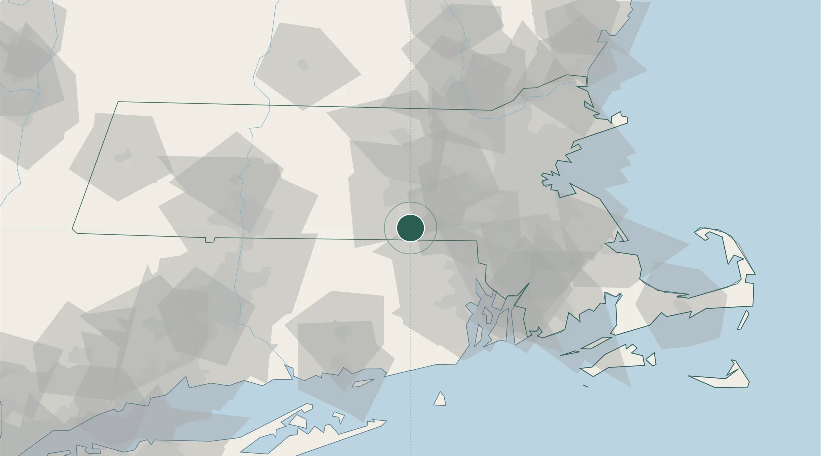
Location
Nearby Logistics Neighbours
Cities
- 1Uxbridge10 km
- 2North Oxford13 km
- 3Upton14 km
- 4Mendon15 km
- 5North Grosvenor Dale17 km
Ports
- 1Providence42 km
- 2Davisville Depot59 km
- 3Bristol60 km
- 4Quonset Point62 km
- 5Fall River63 km
Airports
Trade Zones
DatabookThe Record of Consolidated Knowledge
United States beyond logistics?