Transport Functions
Rail
Road
Hub Profile
Place type
Populated place
Region
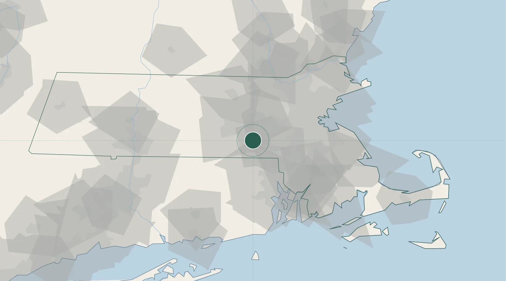
Massachusetts
Population
3,013
Time zone
America/New_York
Elevation
92 m
Location
Nearby Logistics Neighbours
Cities
- 1Mendon9 km
- 2Uxbridge11 km
- 3Manchaug14 km
- 4Northborough17 km
- 5Medway18 km
Ports
- 1Providence44 km
- 2Boston50 km
- 3Quincy53 km
- 4Lynn62 km
- 5Bristol62 km
Airports
Trade Zones
DatabookThe Record of Consolidated Knowledge
United States beyond logistics?