UN/LOCODE hub · United States
USMY9

Medway

42.1333°, -71.3833°
13,042
Population
2
Transport functions

Transport Functions

Road
Multimodal
UN/LOCODE

Hub Profile

Place type
Populated place
GeoNames
Region
Massachusetts
GeoNames
Population
13,042
GeoNames
Time zone
America/New_York
GeoNames
Elevation
59 m
GeoNames

Location

Location of USMY9
Natural Earth 10m (public domain) · Massachusetts · USMY9 · 42.13, -71.38GoogleOSMYandex

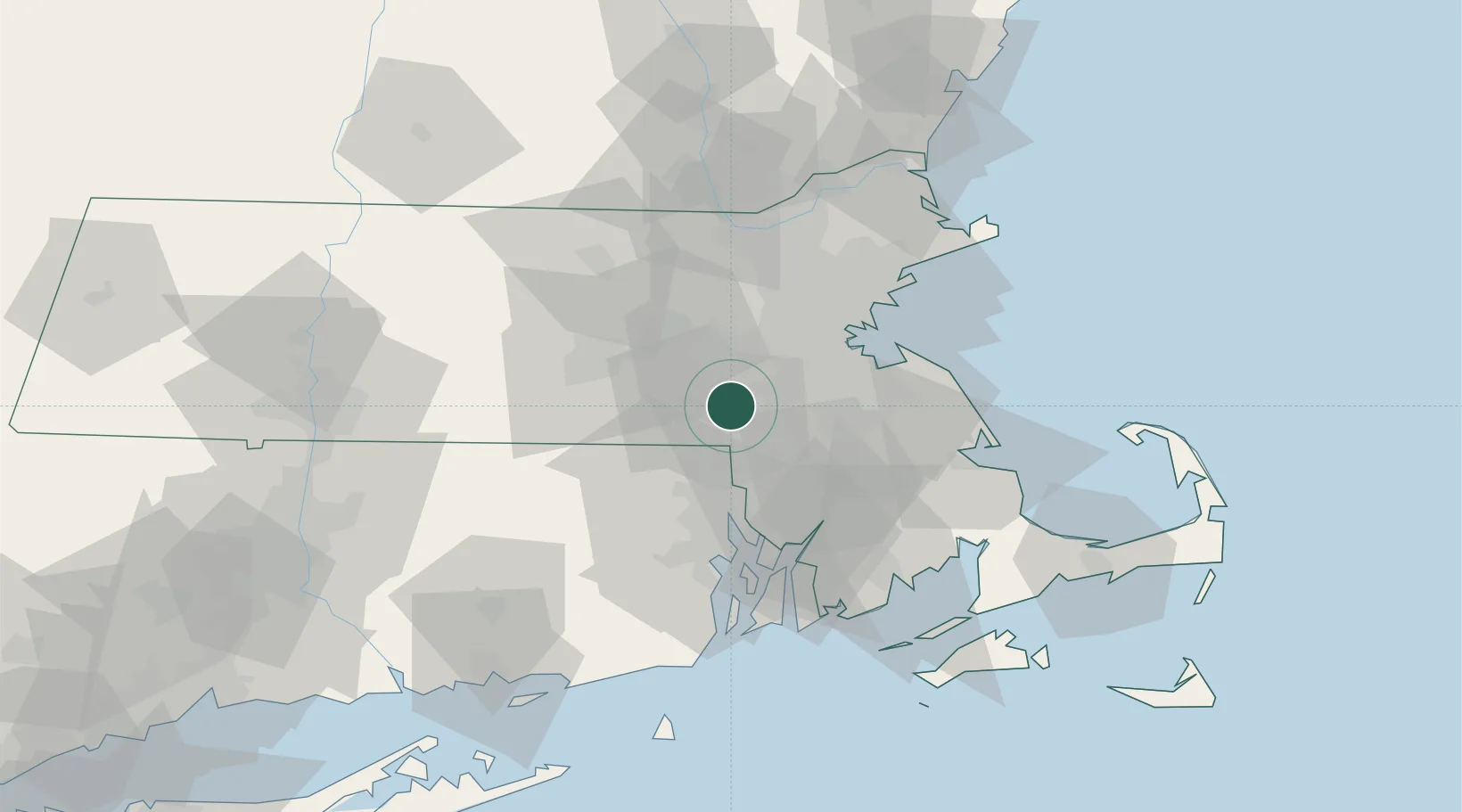
Nearby Logistics Neighbours

Cities
  1. 1Millis5 km
  2. 2Norfolk6 km
  3. 3Sherborn11 km
  4. 4South Walpole12 km
  5. 5Dover14 km
Nearest neighbours — logibook spatial index (haversine) over the source coordinates
Ports
  1. 1Boston37 km
  2. 2Quincy37 km
  3. 3Providence37 km
  4. 4Lynn50 km
  5. 5Fall River51 km
Nearest neighbours — logibook spatial index (haversine) over the source coordinates
Airports
  1. 1Norwood Memorial Airport19 km
  2. 2Laurence G Hanscom Field38 km
  3. 3Boston Logan International Airport40 km
  4. 4Worcester Regional Airport43 km
  5. 5Rhode Island T. F. Green International Airport46 km
Nearest neighbours — logibook spatial index (haversine) over the source coordinates
Trade Zones
  1. 1FTZ No. 027 Boston30 km
  2. 2FTZ No. 105 Providence and North Kingstown36 km
  3. 3FTZ No. 028 New Bedford61 km
  4. 4FTZ No. 208 New London105 km
  5. 5FTZ No. 071 Windsor Locks106 km
Nearest neighbours — logibook spatial index (haversine) over the source coordinates
DatabookThe Record of Consolidated Knowledge
United States beyond logistics?
Browse databook

All Sources

LocationsUN/LOCODE
UN/LOCODE — free
LocationsGeoNames
CC BY 4.0
Portsthe NGA World Port Index
Public domain (US gov)
AirportsOurAirports
Public domain
Trade Zonesthe World Bank SEZ database
CC BY 4.0
Trade ZonesOpen Zone Map
CC BY
← United States locations