UN/LOCODE hub · United States
USUTV
Mountville
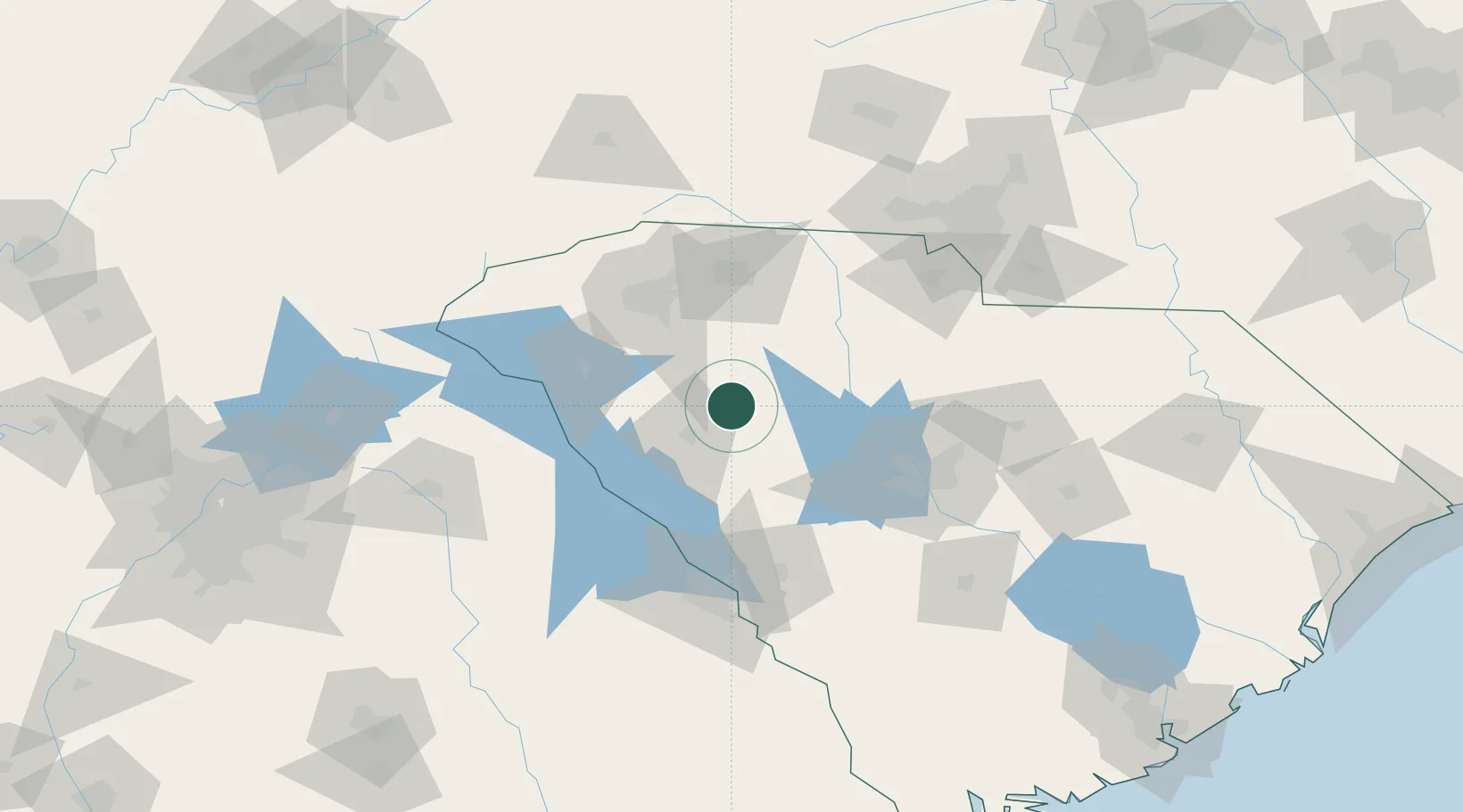
34.3500°, -81.9667°
108
Population
2
Transport functions
Transport Functions
Road
Multimodal
Hub Profile
Place type
Populated place
Region
South Carolina
Population
108
Time zone
America/New_York
Elevation
192 m
Location
Nearby Logistics Neighbours
Cities
- 1Ware Shoals25 km
- 2Hodges27 km
- 3Gray Court30 km
- 4Donalds34 km
- 5Whitmire36 km
Ports
- 1Beaufort245 km
- 2Port Royal251 km
- 3Charleston258 km
- 4Savannah265 km
- 5Georgetown271 km
Airports
Trade Zones
DatabookThe Record of Consolidated Knowledge
United States beyond logistics?