UN/LOCODE hub · United States
USASS
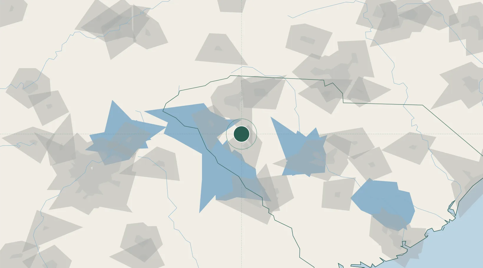
Ware Shoals
34.3833°, -82.2333°
2,175
Population
2
Transport functions
Transport Functions
Port
Road
Hub Profile
Place type
Populated place
Region
South Carolina
Population
2,175
Time zone
America/New_York
Elevation
192 m
Location
Nearby Logistics Neighbours
Cities
- 1Donalds9 km
- 2Hodges11 km
- 3Honea Path15 km
- 4Mountville25 km
- 5Gray Court27 km
Ports
- 1Beaufort261 km
- 2Port Royal266 km
- 3Savannah277 km
- 4Charleston279 km
- 5Georgetown295 km
Airports
Trade Zones
- 1FTZ No. 038 Spartanburg County56 km
- 2FTZ No. 127 West Columbia111 km
- 3FTZ No. 057 Mecklenburg County143 km
- 4FTZ No. 021 Dorchester County202 km
- 5FTZ No. 026 Atlanta210 km
DatabookThe Record of Consolidated Knowledge
United States beyond logistics?