UN/LOCODE hub · United States
USGC3
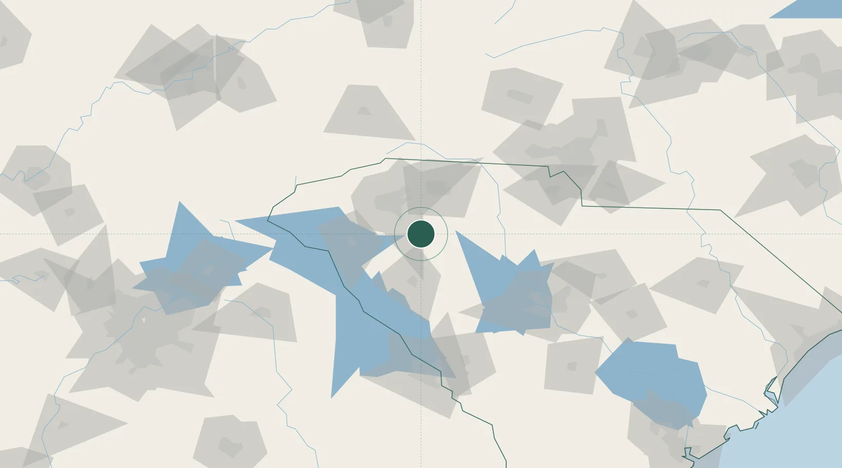
Gray Court
34.6000°, -82.1000°
791
Population
1
Transport functions
Transport Functions
Multimodal
Hub Profile
Place type
Populated place
Region
South Carolina
Population
791
Time zone
America/New_York
Elevation
245 m
Location
Nearby Logistics Neighbours
Cities
- 1Woodruff16 km
- 2Ware Shoals27 km
- 3Conestee29 km
- 4Greenville-Greer Apt29 km
- 5Mountville30 km
Ports
- 1Beaufort275 km
- 2Port Royal281 km
- 3Charleston286 km
- 4Georgetown294 km
- 5Savannah295 km
Airports
Trade Zones
- 1FTZ No. 038 Spartanburg County35 km
- 2FTZ No. 127 West Columbia112 km
- 3FTZ No. 057 Mecklenburg County118 km
- 4FTZ No. 204 Tri-Cities211 km
- 5FTZ No. 021 Dorchester County212 km
DatabookThe Record of Consolidated Knowledge
United States beyond logistics?