UN/LOCODE hub · United States
USIWM
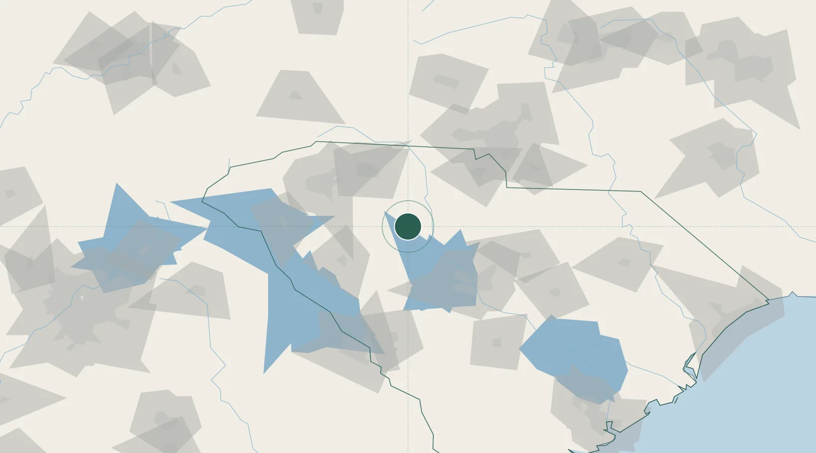
Whitmire
34.5000°, -81.6167°
1,462
Population
3
Transport functions
Transport Functions
Rail
Road
Multimodal
Hub Profile
Place type
Populated place
Region
South Carolina
Population
1,462
Time zone
America/New_York
Elevation
132 m
Location
Nearby Logistics Neighbours
Cities
- 1Union24 km
- 2Mountville36 km
- 3Little Mountain38 km
- 4Blackstock43 km
- 5Pacolet44 km
Ports
- 1Beaufort246 km
- 2Charleston247 km
- 3Georgetown249 km
- 4Port Royal253 km
- 5Savannah273 km
Airports
Trade Zones
DatabookThe Record of Consolidated Knowledge
United States beyond logistics?