Transport Functions
Rail
Road
Hub Profile
Place type
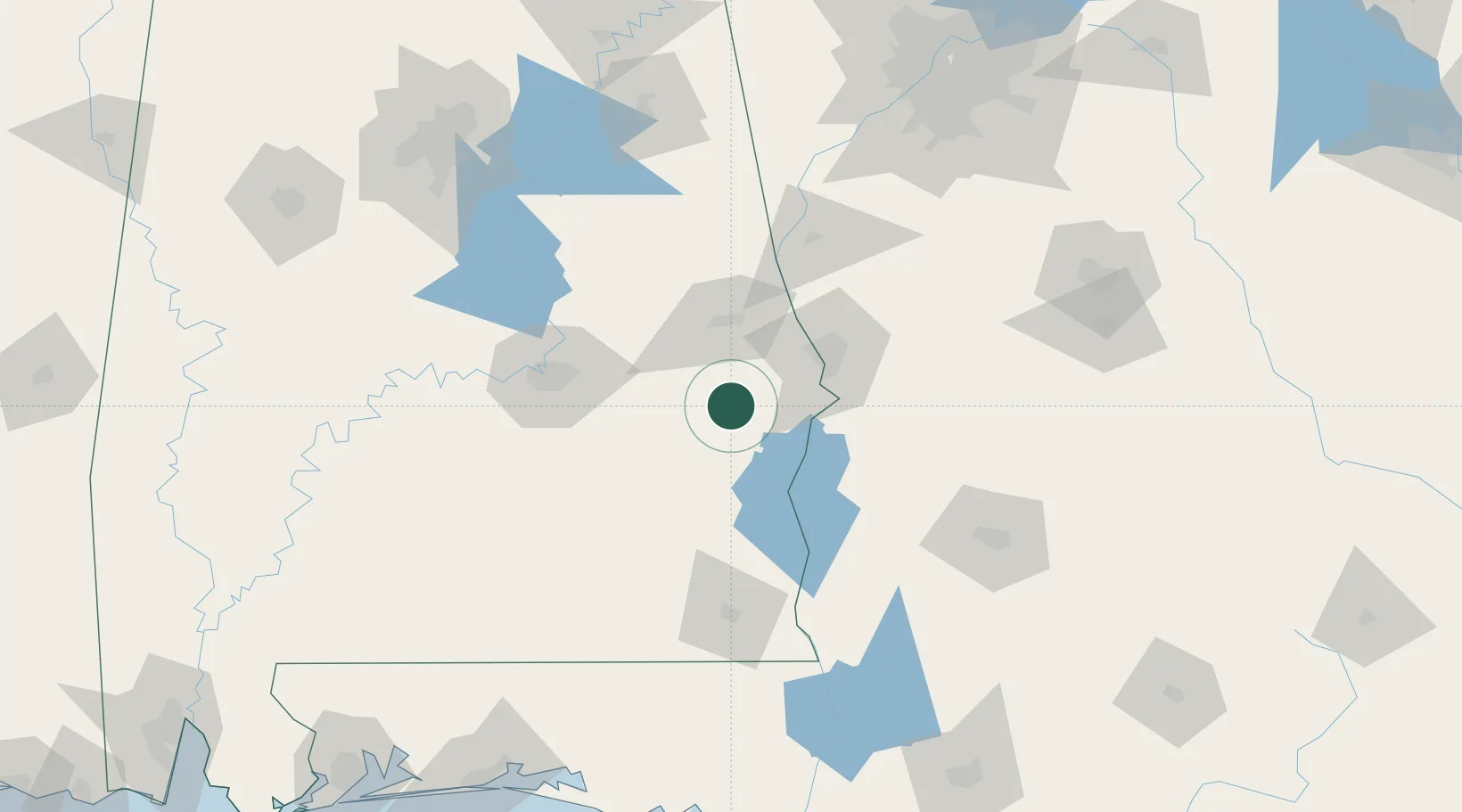
Populated place
Region
Alabama
Population
600
Time zone
America/Chicago
Elevation
107 m
Location
Nearby Logistics Neighbours
Cities
- 1Seale24 km
- 2Cottonton35 km
- 3Salem43 km
- 4Tallassee, Elmore55 km
- 5Cusseta63 km
Ports
- 1Panama City235 km
- 2Pensacola266 km
- 3Port St Joe269 km
- 4Carrabelle275 km
- 5Apalachicola283 km
Airports
Trade Zones
- 1FTZ No. 222 Montgomery86 km
- 2FTZ No. 233 Dothan112 km
- 3FTZ No. 098 Birmingham194 km
- 4FTZ No. 026 Atlanta195 km
- 5FTZ No. 065 Panama City228 km
DatabookThe Record of Consolidated Knowledge
United States beyond logistics?