UN/LOCODE hub · United States
USUSA
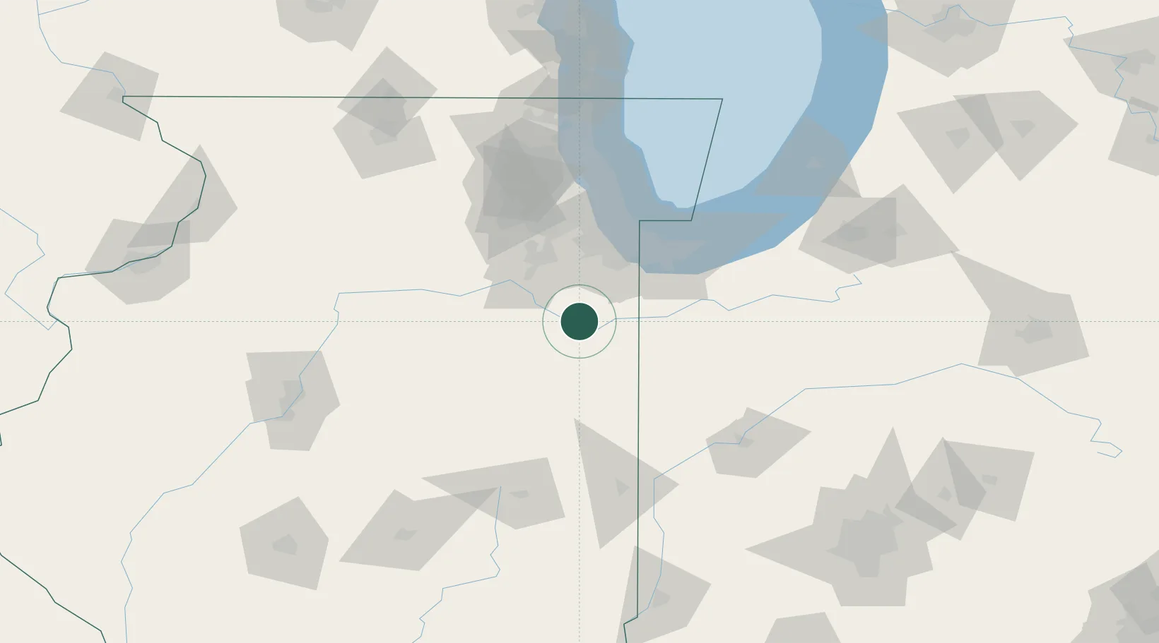
Bourbonnais
41.1500°, -87.8833°
18,569
Population
4
Transport functions
Transport Functions
Port
Rail
Road
Multimodal
Hub Profile
Place type
Populated place
Region
Illinois
Population
18,569
Time zone
America/Chicago
Elevation
198 m
Location
Nearby Logistics Neighbours
Ports
- 1Indiana Harbor69 km
- 2Gary69 km
- 3Calumet Harbor72 km
- 4Chicago85 km
- 5Michigan City105 km
Airports
Trade Zones
- 1FTZ No. 022 Chicago76 km
- 2FTZ No. 152 Burns Harbor80 km
- 3FTZ No. 292 Lake County130 km
- 4FTZ No. 125 South Bend141 km
- 5FTZ No. 114 Peoria152 km
DatabookThe Record of Consolidated Knowledge
United States beyond logistics?