Transport Functions
Rail
Road
Multimodal
Hub Profile
Place type
Populated place
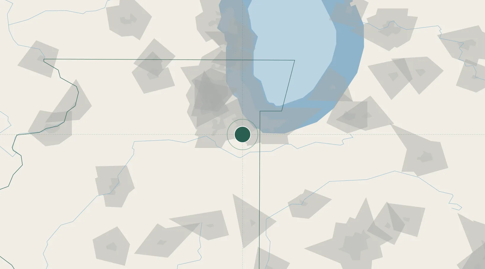
Region
Illinois
Population
5,082
Time zone
America/Chicago
Elevation
243 m
Logistics facilities
1
Location
Nearby Logistics Neighbours
Cities
- 1Matteson11 km
- 2Frankfort11 km
- 3Steger13 km
- 4South Chicago Heights14 km
- 5Mokena14 km
Ports
- 1Indiana Harbor39 km
- 2Calumet Harbor41 km
- 3Gary43 km
- 4Chicago53 km
- 5Wilmette74 km
Airports
Trade Zones
- 1FTZ No. 022 Chicago47 km
- 2FTZ No. 152 Burns Harbor56 km
- 3FTZ No. 292 Lake County101 km
- 4FTZ No. 125 South Bend122 km
- 5FTZ No. 176 Rockford151 km
DatabookThe Record of Consolidated Knowledge
United States beyond logistics?