Transport Functions
Rail
Road
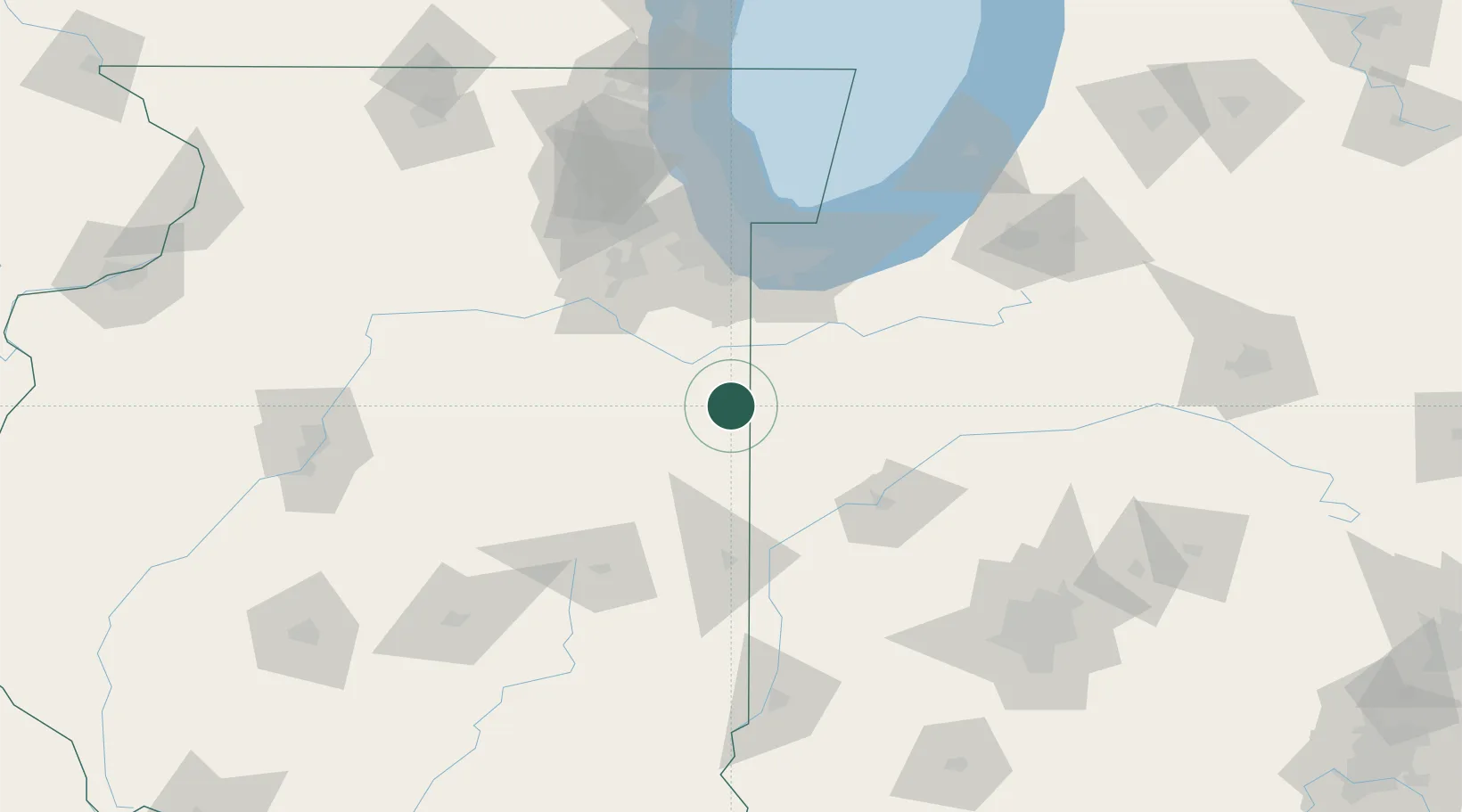
Hub Profile
Place type
Populated place
Region
Illinois
Population
298
Time zone
America/Chicago
Elevation
205 m
Location
Nearby Logistics Neighbours
Cities
- 1Brook23 km
- 2Ashkum28 km
- 3Earl Park30 km
- 4Gilman34 km
- 5Bourbonnais37 km
Ports
- 1Gary85 km
- 2Indiana Harbor88 km
- 3Calumet Harbor95 km
- 4Chicago111 km
- 5Michigan City112 km
Airports
Trade Zones
- 1FTZ No. 152 Burns Harbor91 km
- 2FTZ No. 022 Chicago108 km
- 3FTZ No. 125 South Bend138 km
- 4FTZ No. 292 Lake County162 km
- 5FTZ No. 245 Decatur167 km
DatabookThe Record of Consolidated Knowledge
United States beyond logistics?