Transport Functions
Multimodal
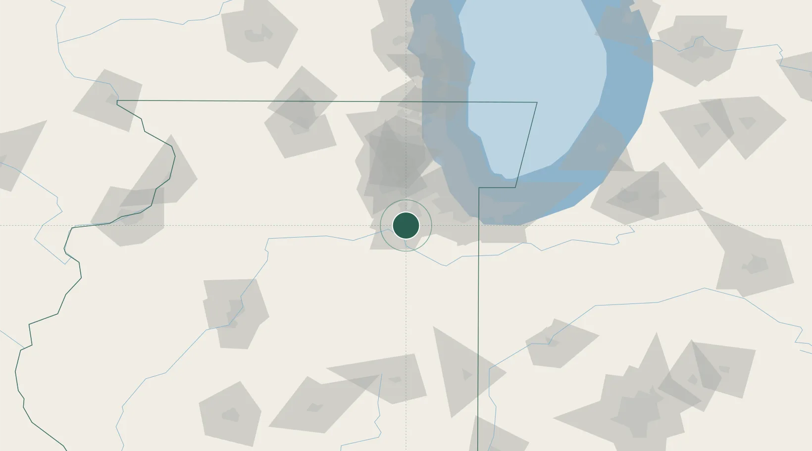
Hub Profile
Place type
Populated place
Region
Illinois
Time zone
America/Chicago
Elevation
159 m
Location
Nearby Logistics Neighbours
Cities
- 1Crest Hill14 km
- 2Fairmont, Will15 km
- 3New Lenox17 km
- 4Frankfort26 km
- 5Mokena30 km
Ports
- 1Calumet Harbor62 km
- 2Indiana Harbor65 km
- 3Chicago68 km
- 4Gary71 km
- 5Wilmette82 km
Airports
Trade Zones
- 1FTZ No. 022 Chicago50 km
- 2FTZ No. 152 Burns Harbor85 km
- 3FTZ No. 292 Lake County101 km
- 4FTZ No. 176 Rockford126 km
- 5FTZ No. 114 Peoria146 km
DatabookThe Record of Consolidated Knowledge
United States beyond logistics?