Medium airport · United States

Gary/Chicago International AirportKGYY
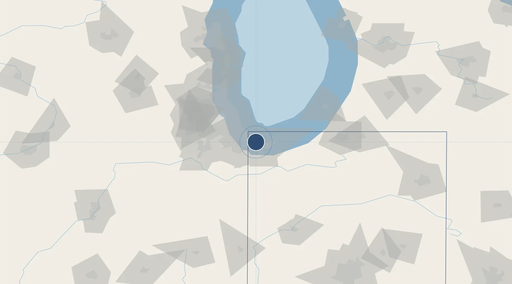
41.6171°, -87.4132°
8,859 ft
Longest runway
2
Runways
591 ft
Elevation

Runway & Layout

Gary/Chicago International Airport runway & taxiway layout
Runway & taxiway layout — OpenStreetMap (ODbL) / OurAirports

Radio Frequencies

ATIS
120.625 MHz
TWR
125.6 MHz
GND
121.9 MHz
CTAF
125.6 MHz
A/D
133.1 MHz
CHICAGO APP/DEP
RCO
114.2 MHz
KANKAKEE RDO
RDO
123.65 MHz
TERRE HAUTE RDO
OurAirports

Navaids

GY NDB Garie 236 kHz
OurAirports

Runways · 2

RunwayDimensions SurfaceTrue headingLit
12/30 8,859 × 150ft Asphalt 124°
02/20 3,604 × 100ft Asphalt 021°
OurAirports

Airport Specifications

IATA code
GYY
OurAirports
ICAO code
KGYY
OurAirports
Airport class
Medium airport
OurAirports
Scheduled service
Yes
OurAirports
Runway surface
Asphalt
OurAirports
Served city
Gary
OurAirports

Location

Location of KGYY
Natural Earth 10m (public domain) · Indiana · KGYY · 41.62, -87.41GoogleOSMYandex

Nearby Logistics Neighbours

Airports
  1. 1Chicago Midway International Airport34 km
  2. 2Porter County Municipal Airport38 km
  3. 3Michigan City Municipal Airport50 km
  4. 4Chicago O'Hare International Airport57 km
  5. 5Chicago Executive Airport69 km
Nearest neighbours — logibook spatial index (haversine) over the source coordinates
Cities
  1. 1Lynwood15 km
  2. 2Thornton17 km
  3. 3Dyer17 km
  4. 4Lake Station17 km
  5. 5Portage18 km
Nearest neighbours — logibook spatial index (haversine) over the source coordinates
Ports
  1. 1Indiana Harbor6 km
  2. 2Gary7 km
  3. 3Calumet Harbor16 km
  4. 4Chicago33 km
  5. 5Michigan City45 km
Nearest neighbours — logibook spatial index (haversine) over the source coordinates
Trade Zones
  1. 1FTZ No. 152 Burns Harbor21 km
  2. 2FTZ No. 022 Chicago45 km
  3. 3FTZ No. 292 Lake County88 km
  4. 4FTZ No. 125 South Bend89 km
  5. 5FTZ No. 176 Rockford164 km
Nearest neighbours — logibook spatial index (haversine) over the source coordinates
DatabookThe Record of Consolidated Knowledge
United States beyond logistics?
Browse databook

All Sources

AirportsOurAirports
Public domain
Portsthe NGA World Port Index
Public domain (US gov)
LocationsUN/LOCODE
UN/LOCODE — free
Trade Zonesthe World Bank SEZ database
CC BY 4.0
Trade ZonesOpen Zone Map
CC BY
InfrastructureOpenStreetMap
ODbL 1.0
← United States airports