Medium airport · United States
Porter County Municipal AirportKVPZ
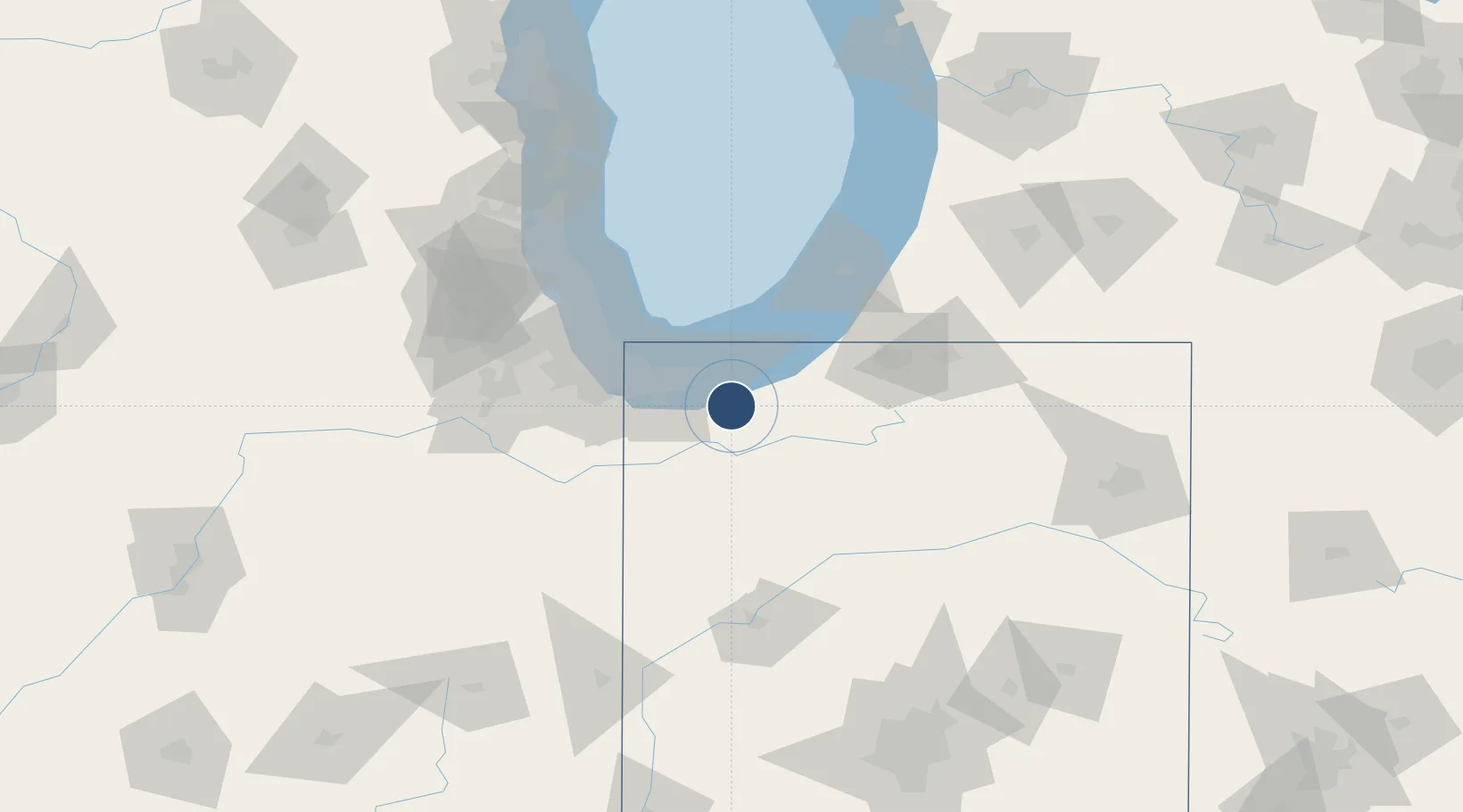
41.4540°, -87.0071°
7,001 ft
Longest runway
2
Runways
770 ft
Elevation
Runway & Layout

Radio Frequencies
ASOS
125.875 MHz
CLD
135.2 MHz
SOUTH BEND CLNC DEL
CTAF
122.725 MHz
A/D
132.05 MHz
SOUTH BEND APP/DEP
RDO
123.65 MHz
TERRE HAUTE RDO
UNIC
122.725 MHz
UNICOM
Navaids
VP NDB Sedly 212 kHz
Runways · 2
| Runway | Dimensions | Surface | True heading | Lit |
|---|---|---|---|---|
| 09/27 | 7,001 × 150ft | Asphalt | 090° | ✓ |
| 18/36 | 4,001 × 75ft | Asphalt | 184° | ✓ |
Airport Specifications
IATA code
VPZ
ICAO code
KVPZ
Airport class
Medium airport
Scheduled service
No
Runway surface
Asphalt
Served city
Valparaiso
Location
Nearby Logistics Neighbours
Airports
Cities
- 1Kouts15 km
- 2Chesterton16 km
- 3Burns Harbor21 km
- 4Lake Station22 km
- 5Portage22 km
Ports
- 1Michigan City32 km
- 2Gary33 km
- 3Indiana Harbor43 km
- 4Calumet Harbor53 km
- 5Chicago69 km
Trade Zones
- 1FTZ No. 152 Burns Harbor23 km
- 2FTZ No. 125 South Bend60 km
- 3FTZ No. 022 Chicago83 km
- 4FTZ No. 292 Lake County121 km
- 5FTZ No. 182 Fort Wayne149 km
DatabookThe Record of Consolidated Knowledge
United States beyond logistics?