Medium airport · United States

Greater Kankakee AirportKIKK
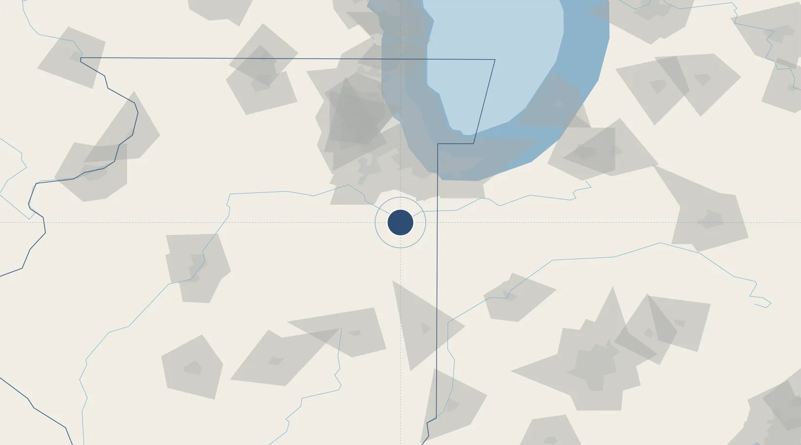
41.0714°, -87.8463°
5,981 ft
Longest runway
2
Runways
630 ft
Elevation

Runway & Layout

Greater Kankakee Airport runway & taxiway layout
Runway & taxiway layout — OpenStreetMap (ODbL) / OurAirports

Radio Frequencies

AWOS
111.6 MHz
AWOS 3
CNTR
132.5 MHz
CHICAGO CNTR
FSS
122.2 MHz
KANKAKEE RDO
UNIC
123 MHz
CTAF/UNICOM
OurAirports

Navaids

EON VORTAC Peotone 113.20 MHz
IKK VOR-DME Kankakee 111.60 MHz
OurAirports

Runways · 2

RunwayDimensions SurfaceTrue headingLit
04/22 5,981 × 100ft Asphalt 038°
16/34 4,398 × 75ft Asphalt 161°
OurAirports

Airport Specifications

IATA code
IKK
OurAirports
ICAO code
KIKK
OurAirports
Airport class
Medium airport
OurAirports
Scheduled service
No
OurAirports
Runway surface
Asphalt
OurAirports
Served city
Kankakee
OurAirports

Location

Location of KIKK
Natural Earth 10m (public domain) · Illinois · KIKK · 41.07, -87.85GoogleOSMYandex

Nearby Logistics Neighbours

Airports
  1. 1Gary/Chicago International Airport71 km
  2. 2Chicago Midway International Airport80 km
  3. 3Porter County Municipal Airport82 km
  4. 4Dupage Airport99 km
  5. 5Chicago O'Hare International Airport101 km
Nearest neighbours — logibook spatial index (haversine) over the source coordinates
Cities
  1. 1Bourbonnais9 km
  2. 2Ashkum24 km
  3. 3Donovan28 km
  4. 4Gilman36 km
  5. 5Monee39 km
Nearest neighbours — logibook spatial index (haversine) over the source coordinates
Ports
  1. 1Gary74 km
  2. 2Indiana Harbor75 km
  3. 3Calumet Harbor79 km
  4. 4Chicago93 km
  5. 5Michigan City108 km
Nearest neighbours — logibook spatial index (haversine) over the source coordinates
Trade Zones
  1. 1FTZ No. 152 Burns Harbor84 km
  2. 2FTZ No. 022 Chicago85 km
  3. 3FTZ No. 292 Lake County139 km
  4. 4FTZ No. 125 South Bend142 km
  5. 5FTZ No. 114 Peoria152 km
Nearest neighbours — logibook spatial index (haversine) over the source coordinates
DatabookThe Record of Consolidated Knowledge
United States beyond logistics?
Browse databook

All Sources

AirportsOurAirports
Public domain
Portsthe NGA World Port Index
Public domain (US gov)
LocationsUN/LOCODE
UN/LOCODE — free
Trade Zonesthe World Bank SEZ database
CC BY 4.0
Trade ZonesOpen Zone Map
CC BY
InfrastructureOpenStreetMap
ODbL 1.0
← United States airports