Transport Functions
Rail
Road
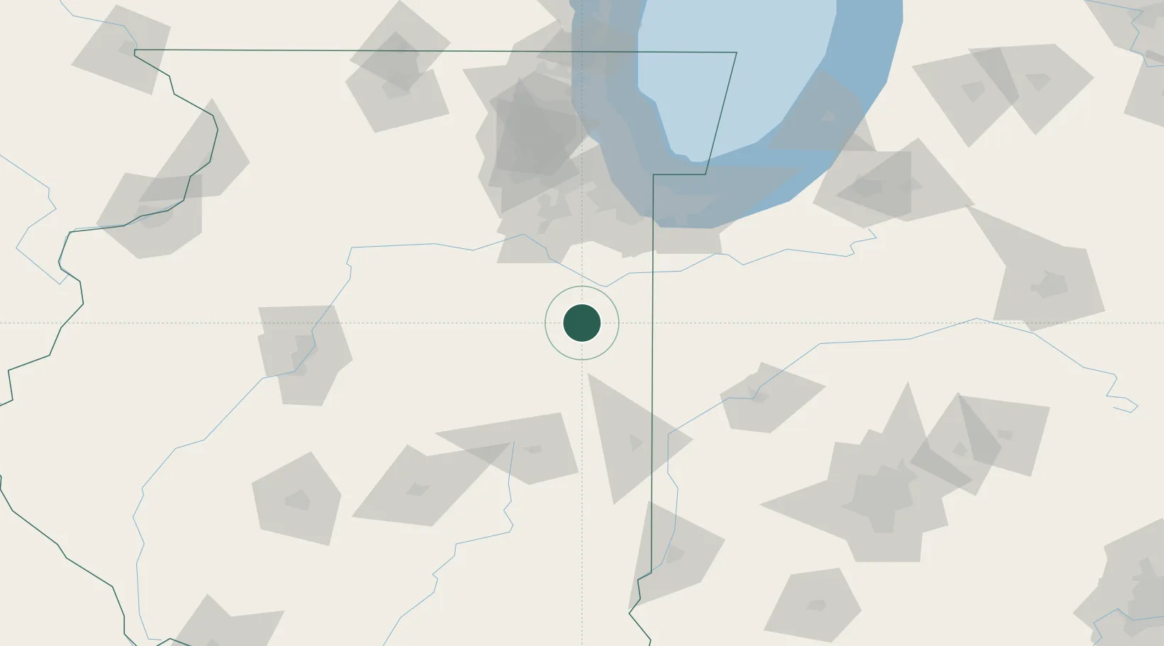
Hub Profile
Place type
Populated place
Region
Illinois
Population
737
Time zone
America/Chicago
Elevation
204 m
Location
Nearby Logistics Neighbours
Cities
- 1Gilman12 km
- 2Piper City24 km
- 3Donovan28 km
- 4Chatsworth31 km
- 5Bourbonnais32 km
Ports
- 1Gary98 km
- 2Indiana Harbor99 km
- 3Calumet Harbor103 km
- 4Chicago117 km
- 5Michigan City130 km
Airports
Trade Zones
- 1FTZ No. 152 Burns Harbor107 km
- 2FTZ No. 022 Chicago108 km
- 3FTZ No. 114 Peoria139 km
- 4FTZ No. 245 Decatur147 km
- 5FTZ No. 125 South Bend161 km
DatabookThe Record of Consolidated Knowledge
United States beyond logistics?