UN/LOCODE hub · United States
USFJK
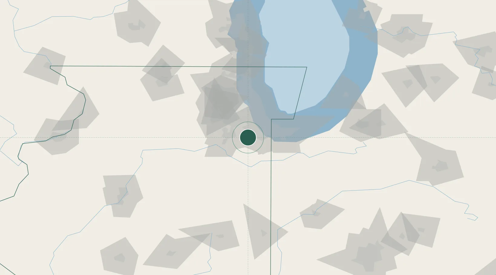
Frankfort
41.5000°, -87.8500°
18,653
Population
3
Transport functions
Transport Functions
Rail
Road
Multimodal
Hub Profile
Place type
Populated place
Region
Illinois
Population
18,653
Time zone
America/Chicago
Elevation
232 m
Location
Nearby Logistics Neighbours
Cities
- 1Mokena6 km
- 2Monee11 km
- 3New Lenox11 km
- 4Matteson13 km
- 5Hazel Crest16 km
Ports
- 1Calumet Harbor38 km
- 2Indiana Harbor39 km
- 3Gary45 km
- 4Chicago47 km
- 5Wilmette66 km
Airports
Trade Zones
- 1FTZ No. 022 Chicago37 km
- 2FTZ No. 152 Burns Harbor59 km
- 3FTZ No. 292 Lake County92 km
- 4FTZ No. 125 South Bend127 km
- 5FTZ No. 176 Rockford140 km
DatabookThe Record of Consolidated Knowledge
United States beyond logistics?