UN/LOCODE hub · United States
USOVO
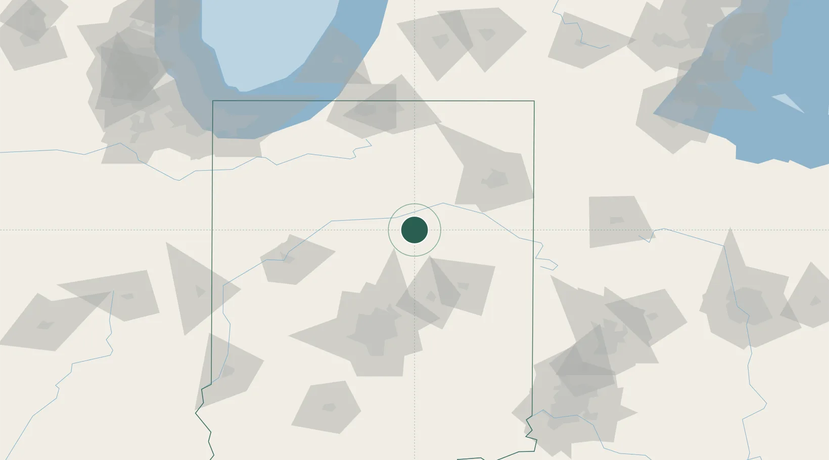
Mount Vernon
40.6667°, -85.8167°
7,208
Population
2
Transport functions
Transport Functions
Rail
Road
Hub Profile
Place type
Populated place
Region
Indiana
Population
7,208
Time zone
America/Indiana/Indianapolis
Elevation
248 m
Location
Nearby Logistics Neighbours
Ports
- 1Michigan City149 km
- 2Gary165 km
- 3St Joseph171 km
- 4Indiana Harbor175 km
- 5Calumet Harbor185 km
Airports
Trade Zones
- 1FTZ No. 182 Fort Wayne64 km
- 2FTZ No. 072 Indianapolis113 km
- 3FTZ No. 125 South Bend121 km
- 4FTZ No. 152 Burns Harbor155 km
- 5FTZ No. 100 Dayton162 km
DatabookThe Record of Consolidated Knowledge
United States beyond logistics?