Transport Functions
Multimodal
Hub Profile
Place type
Populated place
Region
Indiana
Population
803
Time zone
America/Indiana/Indianapolis
Elevation
264 m
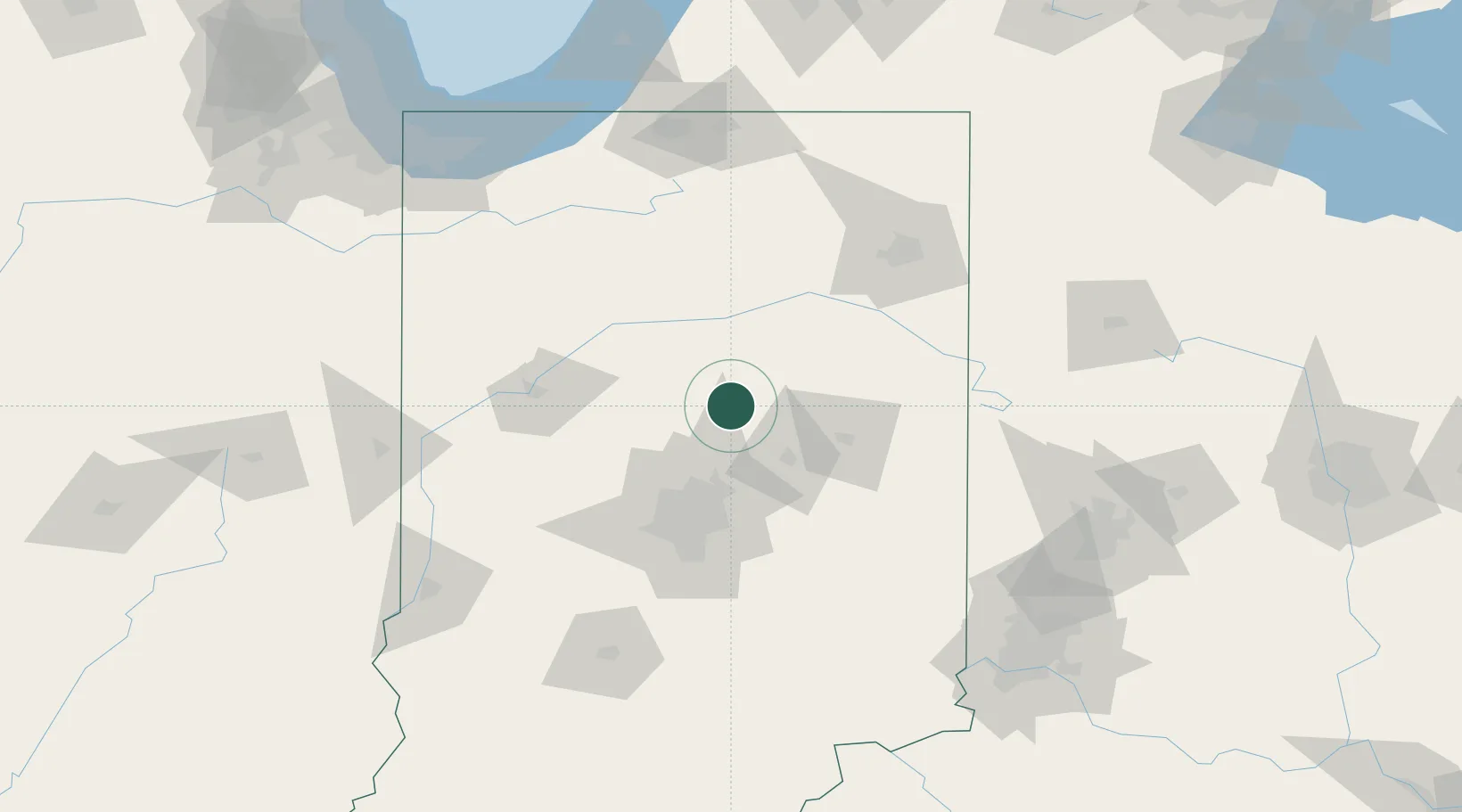
Location
Nearby Logistics Neighbours
Cities
- 1Atlanta18 km
- 2Russiaville28 km
- 3Mount Vernon37 km
- 4Michigantown38 km
- 5Walton41 km
Ports
- 1Michigan City173 km
- 2Gary183 km
- 3Indiana Harbor192 km
- 4St Joseph201 km
- 5Calumet Harbor202 km
Airports
Trade Zones
- 1FTZ No. 072 Indianapolis76 km
- 2FTZ No. 182 Fort Wayne99 km
- 3FTZ No. 125 South Bend151 km
- 4FTZ No. 100 Dayton155 km
- 5FTZ No. 152 Burns Harbor174 km
DatabookThe Record of Consolidated Knowledge
United States beyond logistics?