UN/LOCODE hub · United States
USLQZ
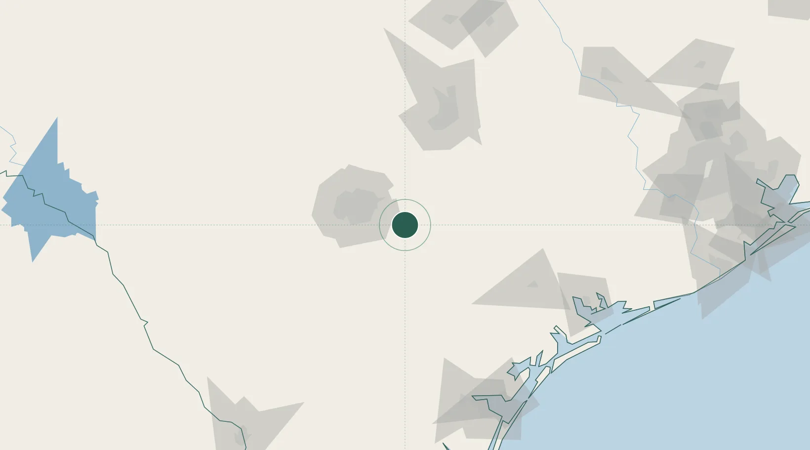
La Vernia
29.3500°, -98.1000°
1,261
Population
2
Transport functions
Transport Functions
Multimodal
Fixed Transport
Hub Profile
Place type
Populated place
Region
Texas
Population
1,261
Time zone
America/Chicago
Elevation
149 m
Location
Nearby Logistics Neighbours
Cities
- 1Elmendorf24 km
- 2Floresville25 km
- 3Cibolo27 km
- 4Schertz28 km
- 5Castle Hills43 km
Ports
- 1Port Lavaca166 km
- 2Rockport180 km
- 3Corpus Christi184 km
- 4Port Ingleside193 km
- 5Port Aransas197 km
Airports
Trade Zones
- 1FTZ No. 080 San Antonio69 km
- 2FTZ No. 183 Austin108 km
- 3FTZ No. 122 Corpus Christi184 km
- 4FTZ No. 094 Laredo241 km
- 5FTZ No. 096 Eagle Pass245 km
DatabookThe Record of Consolidated Knowledge
United States beyond logistics?