Transport Functions
Port
Hub Profile
Place type
Provincial seat
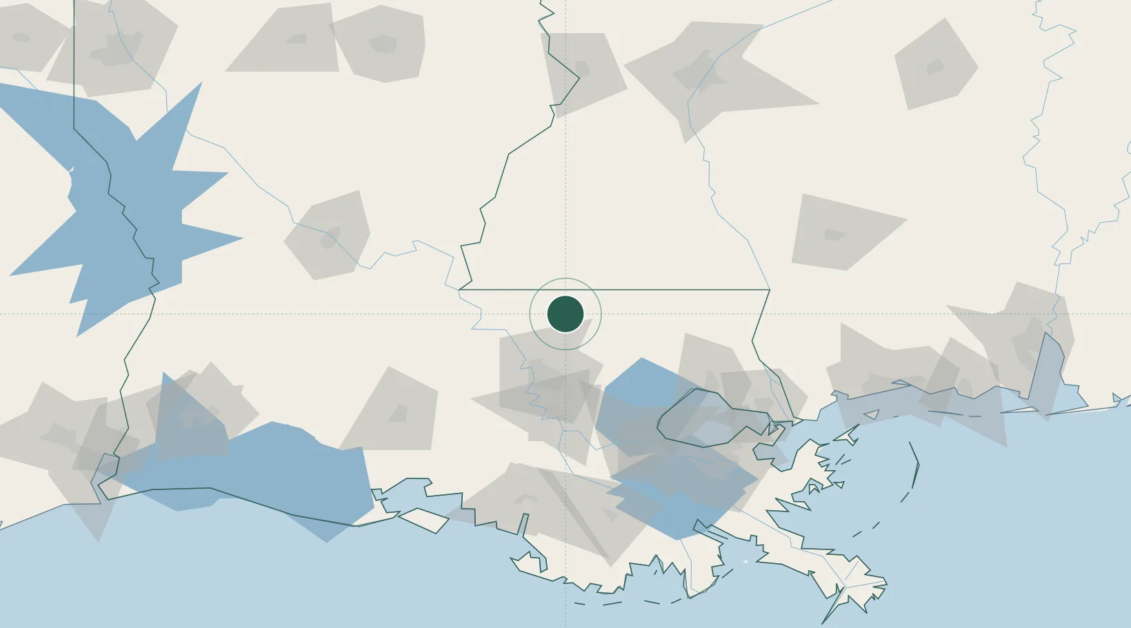
Region
Louisiana
Population
1,577
Time zone
America/Chicago
Elevation
66 m
Location
Nearby Logistics Neighbours
Cities
- 1Bluff Creek18 km
- 2Slaughter20 km
- 3Centreville27 km
- 4Baker34 km
- 5Baton Rouge36 km
Ports
- 1Baton Rouge48 km
- 2Convent94 km
- 3Madisonville96 km
- 4St. James98 km
- 5Reserve99 km
Airports
Trade Zones
DatabookThe Record of Consolidated Knowledge
United States beyond logistics?