UN/LOCODE hub · United States
USPTF
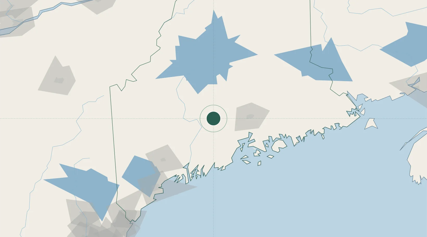
Pittsfield
44.7833°, -69.3833°
3,150
Population
2
Transport functions
Transport Functions
Rail
Road
Hub Profile
Place type
Populated place
Region
Maine
Population
3,150
Time zone
America/New_York
Elevation
64 m
Location
Nearby Logistics Neighbours
Cities
- 1Newport10 km
- 2Burnham12 km
- 3Unity21 km
- 4Fairfield27 km
- 5North Vassalboro38 km
Ports
- 1Winterport45 km
- 2Bangor49 km
- 3Belfast51 km
- 4Searsport52 km
- 5Bucksport53 km
Airports
- 1Bangor International Airport44 km
- 2Augusta State Airport61 km
- 3Islesboro Airport65 km
- 4Witherspoons Airport81 km
- 5Knox County Regional Airport84 km
Trade Zones
- 1FTZ No. 186 Waterville37 km
- 2FTZ No. 058 Bangor45 km
- 3FTZ No. 263 Auburn101 km
- 4FTZ No. 081 Portsmouth225 km
- 5Saint John266 km
DatabookThe Record of Consolidated Knowledge
United States beyond logistics?