UN/LOCODE hub · United States
USYFE
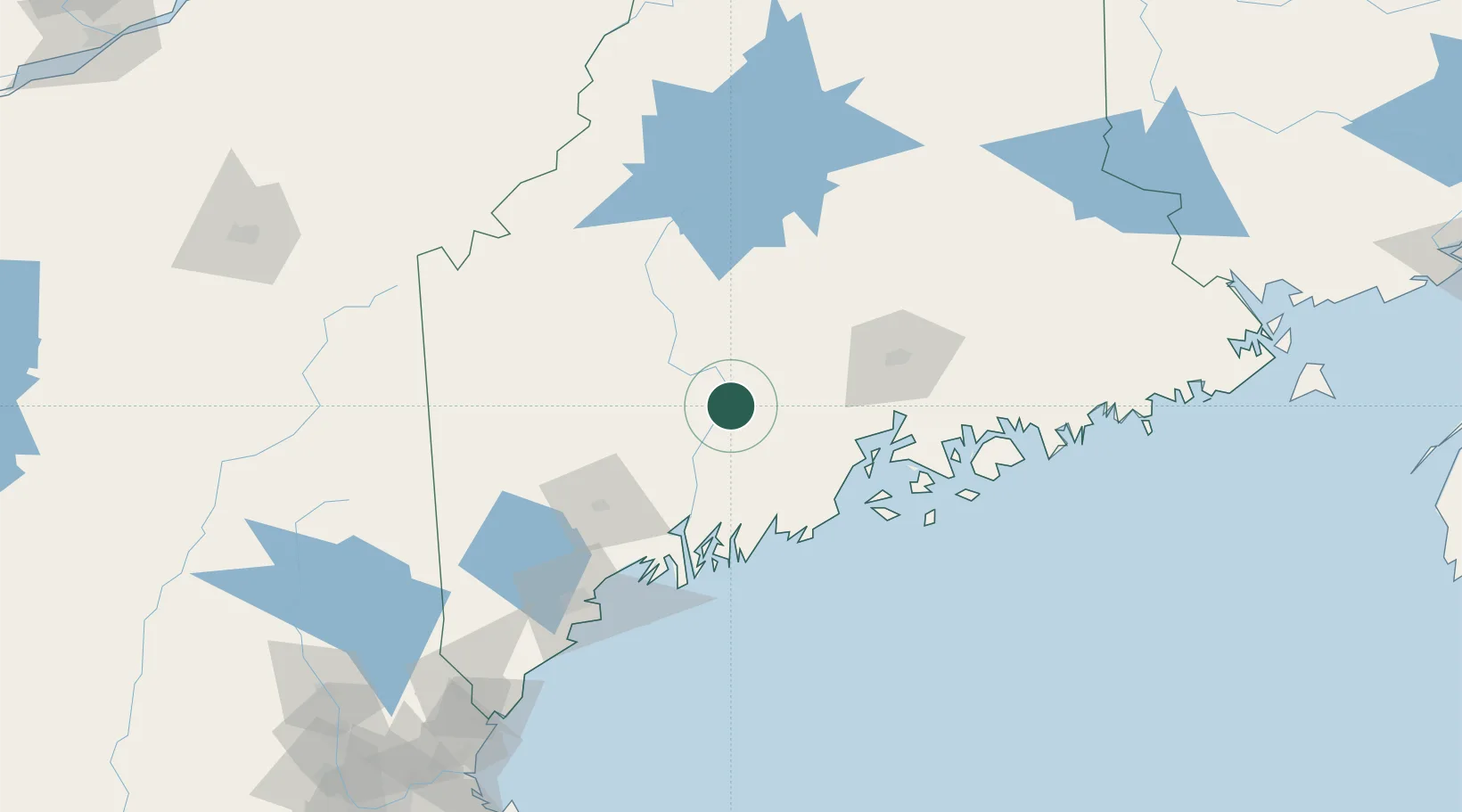
Fairfield
44.5833°, -69.5833°
2,638
Population
3
Transport functions
Transport Functions
Rail
Road
Multimodal
Hub Profile
Place type
Populated place
Region
Maine
Population
2,638
Time zone
America/New_York
Elevation
43 m
Location
Nearby Logistics Neighbours
Cities
- 1North Vassalboro11 km
- 2Burnham16 km
- 3Vassalboro17 km
- 4Unity20 km
- 5Pittsfield27 km
Airports
- 1Augusta State Airport34 km
- 2Islesboro Airport62 km
- 3Bangor International Airport65 km
- 4Knox County Regional Airport70 km
- 5Witherspoons Airport74 km
Trade Zones
- 1FTZ No. 186 Waterville10 km
- 2FTZ No. 058 Bangor66 km
- 3FTZ No. 263 Auburn74 km
- 4FTZ No. 081 Portsmouth198 km
- 5FTZ No. 027 Boston281 km
DatabookThe Record of Consolidated Knowledge
United States beyond logistics?