Transport Functions
Multimodal
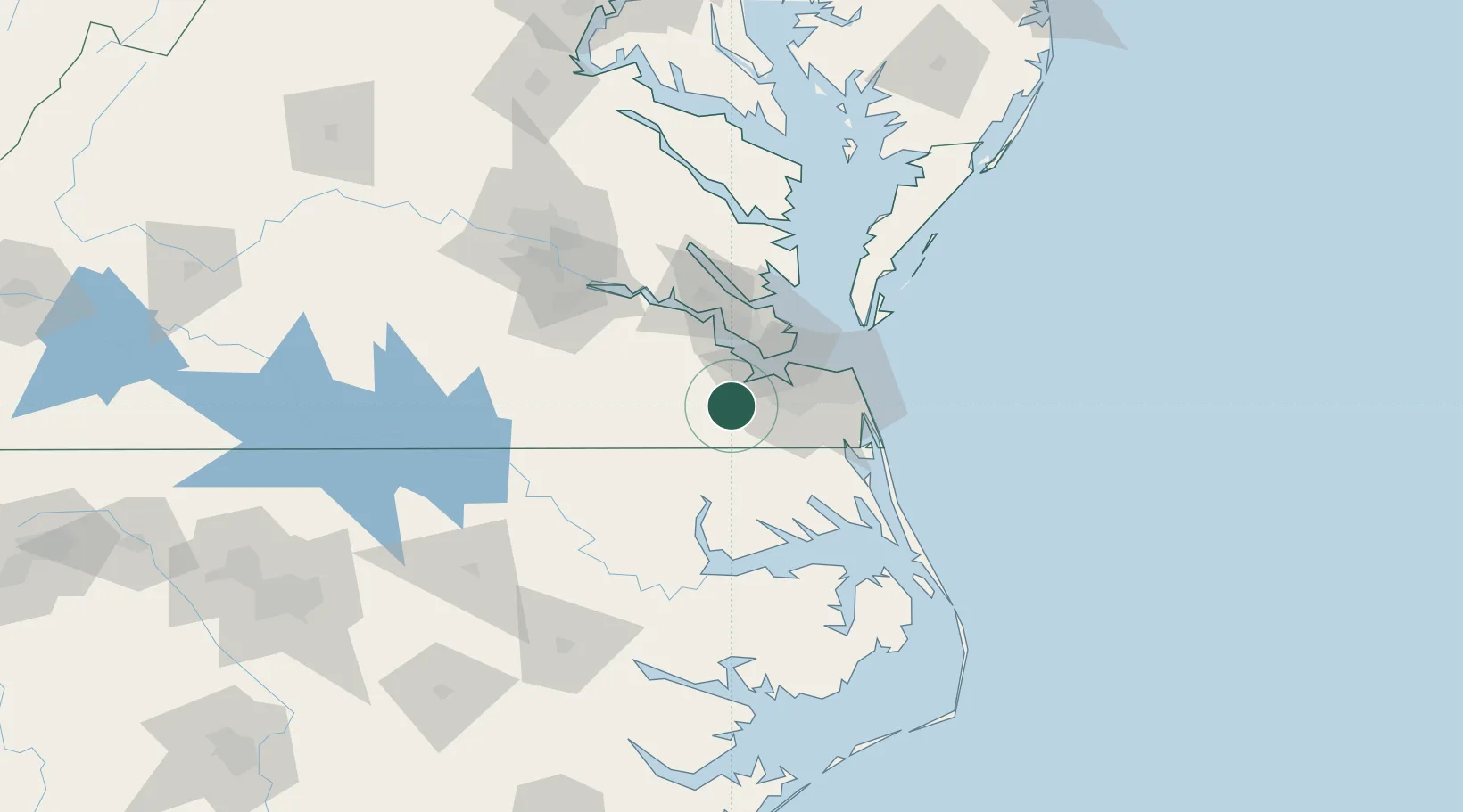
Hub Profile
Place type
Populated place
Region
Virginia
Time zone
America/New_York
Elevation
13 m
Location
Nearby Logistics Neighbours
Cities
- 1Carrollton21 km
- 2Chesapeake23 km
- 3Norfolk23 km
- 4Portsmouth25 km
- 5Newport News30 km
Ports
- 1Portsmouth26 km
- 2Newport News28 km
- 3Norfolk28 km
- 4Yorktown54 km
- 5Elizabeth City60 km
Airports
Trade Zones
- 1FTZ No. 020 Suffolk19 km
- 2FTZ No. 207 Richmond122 km
- 3FTZ No. 214 Lenoir County207 km
- 4FTZ No. 093 Raleigh Durham228 km
- 5FTZ No. 185 Culpeper County235 km
DatabookThe Record of Consolidated Knowledge
United States beyond logistics?