UN/LOCODE hub · United States
USPO9
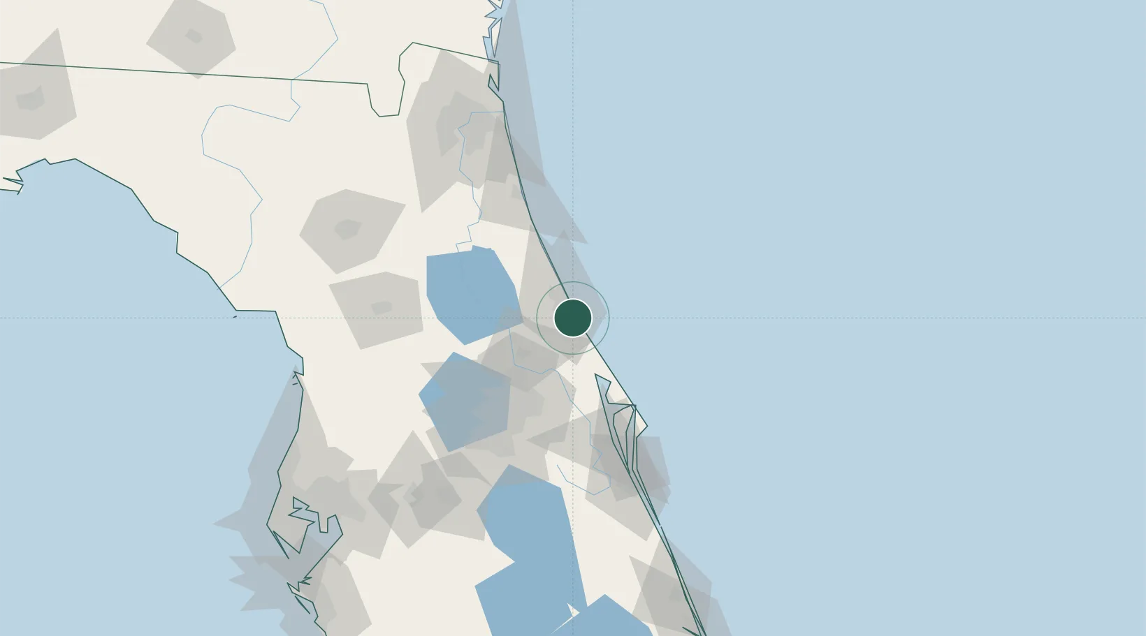
Port Orange
29.1333°, -80.9833°
59,866
Population
2
Transport functions
Transport Functions
Road
Multimodal
Hub Profile
Place type
Populated place
Region
Florida
Population
59,866
Time zone
America/New_York
Elevation
2 m
Location
Nearby Logistics Neighbours
Cities
- 1New Smyrna Beach12 km
- 2Cutler Ridge32 km
- 3Orange City37 km
- 4Flagler Beach39 km
- 5Bunnell44 km
Ports
- 1Canaveral Harbor60 km
- 2St Augustine91 km
- 3Jacksonville147 km
- 4Mayport147 km
- 5Fernandina Beach179 km
Airports
Trade Zones
- 1FTZ No. 198 Volusia County47 km
- 2FTZ No. 250 Seminole County57 km
- 3FTZ No. 042 Orlando89 km
- 4FTZ No. 136 Brevard County96 km
- 5FTZ No. 064 Jacksonville165 km
DatabookThe Record of Consolidated Knowledge
United States beyond logistics?