UN/LOCODE hub · United States
USCI4
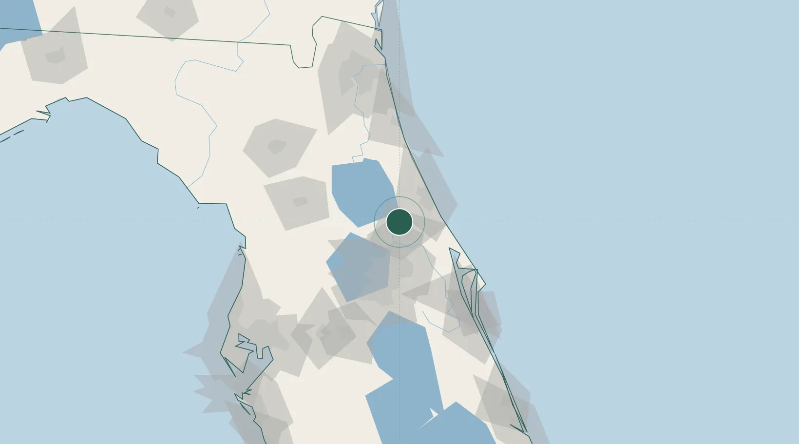
Cutler Ridge
29.0167°, -81.2833°
26,831
Population
1
Transport functions
Transport Functions
Multimodal
Hub Profile
Place type
Populated place
Region
Florida
Population
26,831
Time zone
America/New_York
Elevation
3 m
Location
Nearby Logistics Neighbours
Cities
- 1Orange City8 km
- 2Paisley25 km
- 3Port Orange32 km
- 4New Smyrna Beach34 km
- 5Sorrento35 km
Ports
- 1Canaveral Harbor74 km
- 2St Augustine98 km
- 3Jacksonville149 km
- 4Mayport155 km
- 5Tampa167 km
Airports
Trade Zones
- 1FTZ No. 198 Volusia County16 km
- 2FTZ No. 250 Seminole County31 km
- 3FTZ No. 042 Orlando64 km
- 4FTZ No. 136 Brevard County79 km
- 5FTZ No. 064 Jacksonville162 km
DatabookThe Record of Consolidated Knowledge
United States beyond logistics?