Medium airport · United States
Daytona Beach International AirportKDAB
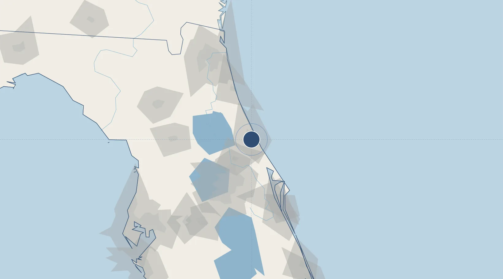
29.1825°, -81.0595°
10,500 ft
Longest runway
3
Runways
34 ft
Elevation
Runway & Layout

Radio Frequencies
ATIS
132.875 MHz
TWR
120.7 MHz
GND
121.9 MHz
CLD
119.3 MHz
CLNC DEL
APP
118.85 MHz
DEP
123.9 MHz
UNIC
122.95 MHz
UNICOM
Navaids
DA NDB Tomok 263 kHz
Runways · 3
| Runway | Dimensions | Surface | True heading | Lit |
|---|---|---|---|---|
| 07L/25R | 10,500 × 150ft | Asphalt | 065° | ✓ |
| 16/34 | 6,001 × 150ft | Asphalt | 157° | ✓ |
| 07R/25L | 3,195 × 100ft | Asphalt | 065° | ✓ |
Airport Specifications
IATA code
DAB
ICAO code
KDAB
Airport class
Medium airport
Scheduled service
Yes
Runway surface
Asphalt
Served city
Daytona Beach
Location
Nearby Logistics Neighbours
Airports
Cities
- 1Port Orange9 km
- 2New Smyrna Beach21 km
- 3Cutler Ridge29 km
- 4Flagler Beach32 km
- 5Orange City35 km
Ports
- 1Canaveral Harbor69 km
- 2St Augustine84 km
- 3Jacksonville138 km
- 4Mayport140 km
- 5Fernandina Beach171 km
Trade Zones
- 1FTZ No. 198 Volusia County42 km
- 2FTZ No. 250 Seminole County57 km
- 3FTZ No. 042 Orlando89 km
- 4FTZ No. 136 Brevard County99 km
- 5FTZ No. 064 Jacksonville156 km
DatabookThe Record of Consolidated Knowledge
United States beyond logistics?