Medium airport · United States
Leesburg International AirportKLEE
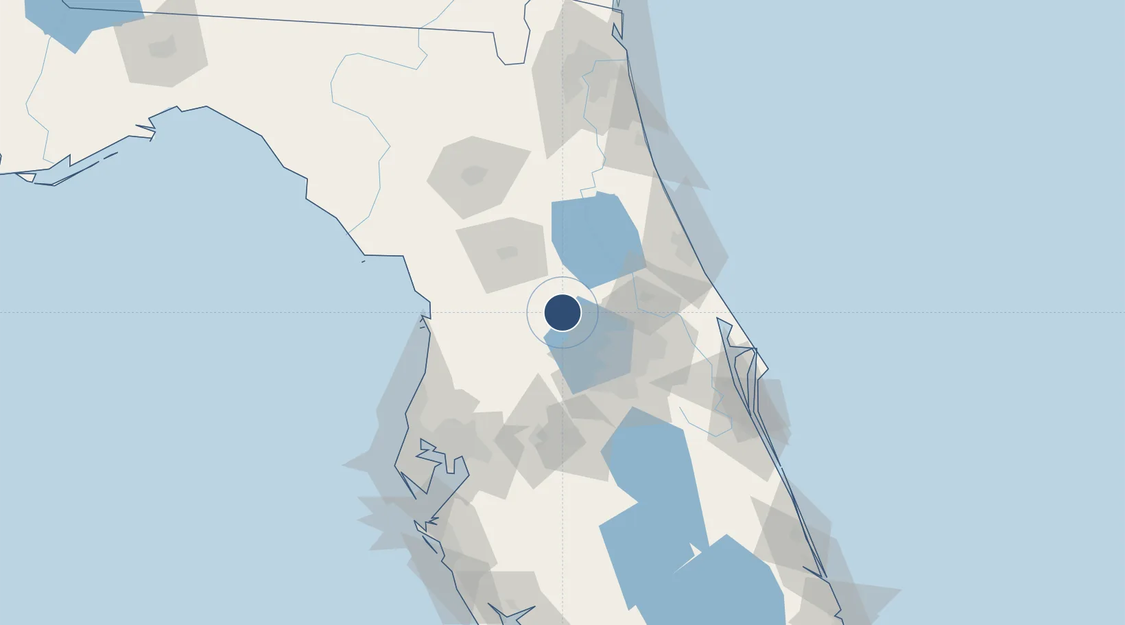
28.8231°, -81.8087°
6,300 ft
Longest runway
2
Runways
76 ft
Elevation
Runway & Layout

Radio Frequencies
ATIS
134.325 MHz
TWR
119.35 MHz
Leesburg Tower
GND
121.725 MHz
Leesburg Ground
A/D
121.1 MHz
ORLANDO APP/DEP
CLNC DEL
120.225 MHz
Leesburg Clearance Delivery (when tower closed)
UNIC
122.725 MHz
CTAF/UNICOM
Runways · 2
| Runway | Dimensions | Surface | True heading | Lit |
|---|---|---|---|---|
| 13/31 | 6,300 × 100ft | Asphalt | 130° | ✓ |
| 04/22 | 4,957 × 100ft | Asphalt | 035° | ✓ |
Airport Specifications
IATA code
LEE
ICAO code
KLEE
Airport class
Medium airport
Scheduled service
No
Runway surface
Asphalt
Served city
Leesburg
Location
Nearby Logistics Neighbours
Airports
Cities
- 1Fruitland Park9 km
- 2Hawthorne10 km
- 3Astatula16 km
- 4Sorrento25 km
- 5Sumterville26 km
Ports
- 1Canaveral Harbor117 km
- 2Tampa119 km
- 3Tarpon Springs120 km
- 4St Augustine129 km
- 5Sankt-Peterburg142 km
Trade Zones
- 1FTZ No. 198 Volusia County41 km
- 2FTZ No. 250 Seminole County44 km
- 3FTZ No. 042 Orlando48 km
- 4FTZ No. 136 Brevard County80 km
- 5FTZ No. 079 Tampa115 km
DatabookThe Record of Consolidated Knowledge
United States beyond logistics?