Transport Functions
Rail
Road
Hub Profile
Place type
Populated place
Region
Vermont
Population
794
Time zone
America/New_York
Elevation
311 m
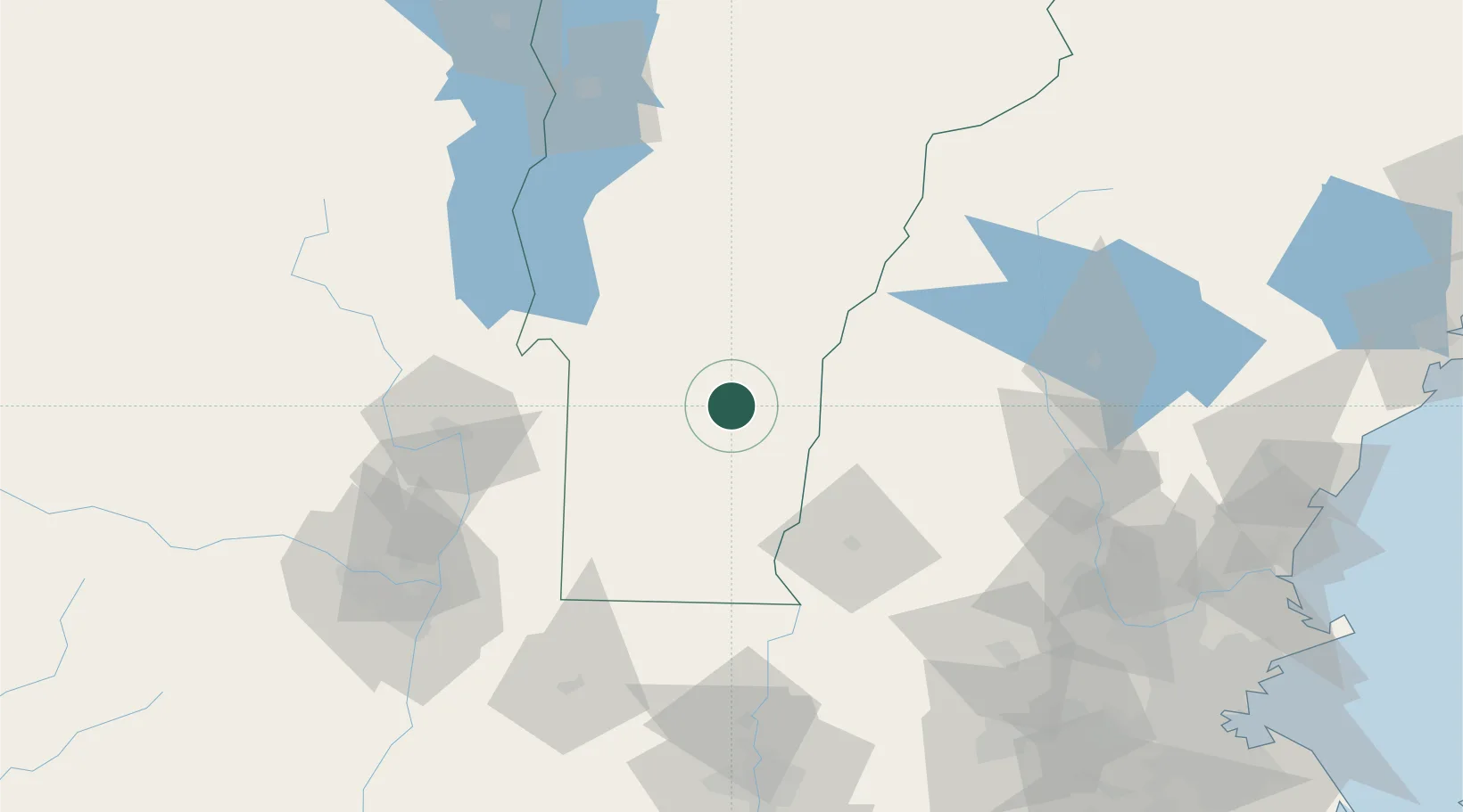
Location
Nearby Logistics Neighbours
Cities
- 1Proctorsville7 km
- 2Chester18 km
- 3West Windsor20 km
- 4Ascutney24 km
- 5Danby25 km
Ports
- 1Troy110 km
- 2Albany119 km
- 3Rensselaer119 km
- 4Catskill162 km
- 5Portsmouth162 km
Airports
Trade Zones
- 1FTZ No. 268 Brattleboro61 km
- 2FTZ No. 121 Albany118 km
- 3FTZ No. 201 Holyoke131 km
- 4FTZ No. 081 Portsmouth155 km
- 5FTZ No. 071 Windsor Locks164 km
DatabookThe Record of Consolidated Knowledge
United States beyond logistics?