Transport Functions
Multimodal
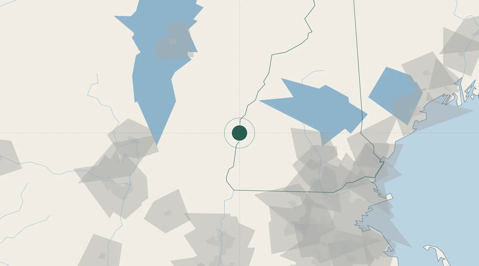
Hub Profile
Place type
Populated place
Region
Vermont
Population
540
Time zone
America/New_York
Elevation
124 m
Location
Nearby Logistics Neighbours
Cities
- 1West Windsor12 km
- 2Hartland15 km
- 3Plainfield15 km
- 4Charlestown19 km
- 5Proctorsville19 km
Ports
- 1Troy129 km
- 2Albany138 km
- 3Rensselaer138 km
- 4Portsmouth138 km
- 5Newburyport140 km
Airports
Trade Zones
- 1FTZ No. 268 Brattleboro62 km
- 2FTZ No. 081 Portsmouth132 km
- 3FTZ No. 201 Holyoke133 km
- 4FTZ No. 121 Albany138 km
- 5FTZ No. 027 Boston160 km
DatabookThe Record of Consolidated Knowledge
United States beyond logistics?