Transport Functions
Rail
Road
Multimodal
Hub Profile
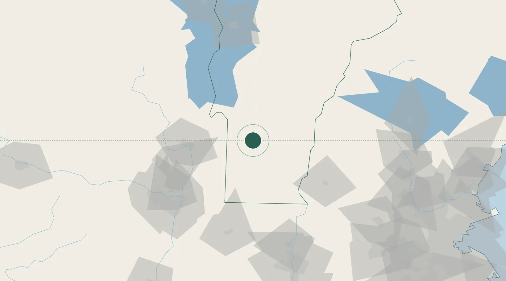
Place type
Populated place
Region
Vermont
Population
1,286
Time zone
America/New_York
Elevation
211 m
Location
Nearby Logistics Neighbours
Cities
- 1Dorset14 km
- 2Ludlow25 km
- 3West Rutland26 km
- 4Proctorsville30 km
- 5Rutland30 km
Ports
- 1Troy89 km
- 2Albany99 km
- 3Rensselaer99 km
- 4Catskill144 km
- 5Kingston176 km
Airports
Trade Zones
- 1FTZ No. 268 Brattleboro63 km
- 2FTZ No. 121 Albany97 km
- 3FTZ No. 201 Holyoke127 km
- 4FTZ No. 071 Windsor Locks161 km
- 5FTZ No. 081 Portsmouth178 km
DatabookThe Record of Consolidated Knowledge
United States beyond logistics?