Transport Functions
Rail
Road
Hub Profile
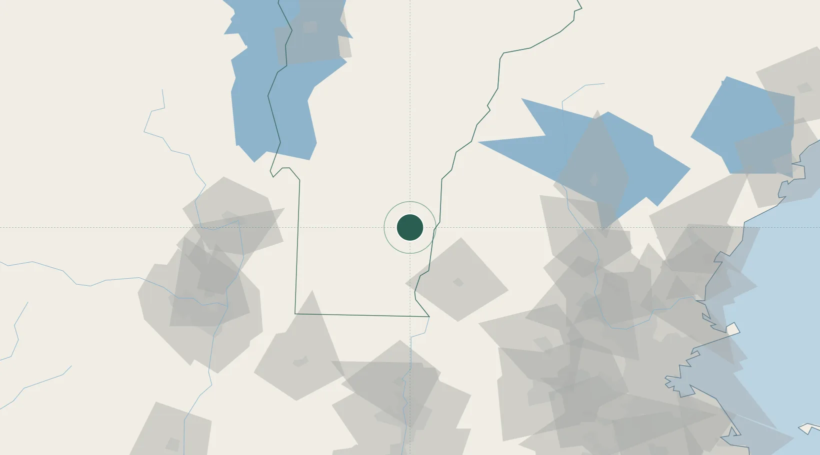
Place type
Populated place
Region
Vermont
Population
2,994
Time zone
America/New_York
Elevation
185 m
Location
Nearby Logistics Neighbours
Cities
- 1Proctorsville12 km
- 2Charlestown14 km
- 3Ludlow18 km
- 4Bellows Falls18 km
- 5Ascutney21 km
Ports
- 1Troy109 km
- 2Albany117 km
- 3Rensselaer117 km
- 4Newburyport148 km
- 5Portsmouth150 km
Airports
Trade Zones
- 1FTZ No. 268 Brattleboro45 km
- 2FTZ No. 201 Holyoke116 km
- 3FTZ No. 121 Albany118 km
- 4FTZ No. 081 Portsmouth143 km
- 5FTZ No. 071 Windsor Locks149 km
DatabookThe Record of Consolidated Knowledge
United States beyond logistics?