Transport Functions
Road
Multimodal
Hub Profile
Place type
Populated place
Region
Maine
Time zone
America/New_York
Elevation
92 m
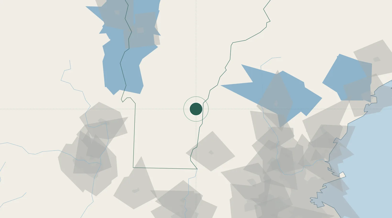
Location
Nearby Logistics Neighbours
Cities
- 1Hartland9 km
- 2Ascutney12 km
- 3Plainfield12 km
- 4North Hartland16 km
- 5Proctorsville18 km
Ports
- 1Troy129 km
- 2Albany139 km
- 3Rensselaer139 km
- 4Portsmouth147 km
- 5Newburyport151 km
Airports
Trade Zones
- 1FTZ No. 268 Brattleboro70 km
- 2FTZ No. 121 Albany138 km
- 3FTZ No. 081 Portsmouth141 km
- 4FTZ No. 201 Holyoke141 km
- 5FTZ No. 027 Boston172 km
DatabookThe Record of Consolidated Knowledge
United States beyond logistics?