UN/LOCODE hub · United States
USPV6
Proctorsville
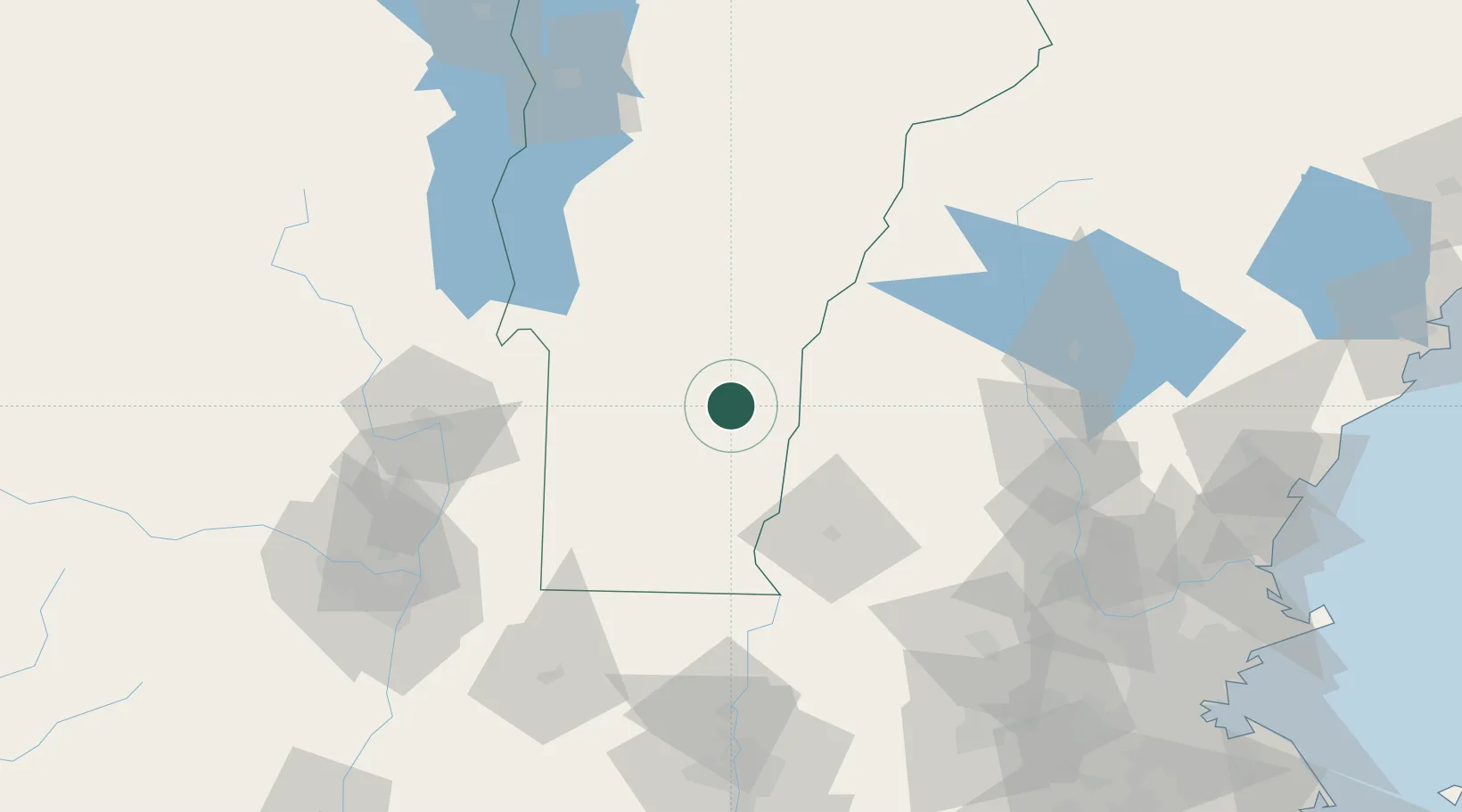
43.3667°, -72.6333°
454
Population
1
Transport functions
Transport Functions
Multimodal
Hub Profile
Place type
Populated place
Region
Vermont
Population
454
Time zone
America/New_York
Elevation
288 m
Location
Nearby Logistics Neighbours
Cities
- 1Ludlow7 km
- 2Chester12 km
- 3West Windsor18 km
- 4Ascutney19 km
- 5Charlestown23 km
Ports
- 1Troy112 km
- 2Albany121 km
- 3Rensselaer121 km
- 4Portsmouth156 km
- 5Newburyport156 km
Airports
Trade Zones
- 1FTZ No. 268 Brattleboro56 km
- 2FTZ No. 121 Albany120 km
- 3FTZ No. 201 Holyoke127 km
- 4FTZ No. 081 Portsmouth149 km
- 5FTZ No. 071 Windsor Locks160 km
DatabookThe Record of Consolidated Knowledge
United States beyond logistics?