UN/LOCODE hub · United States
USPLX
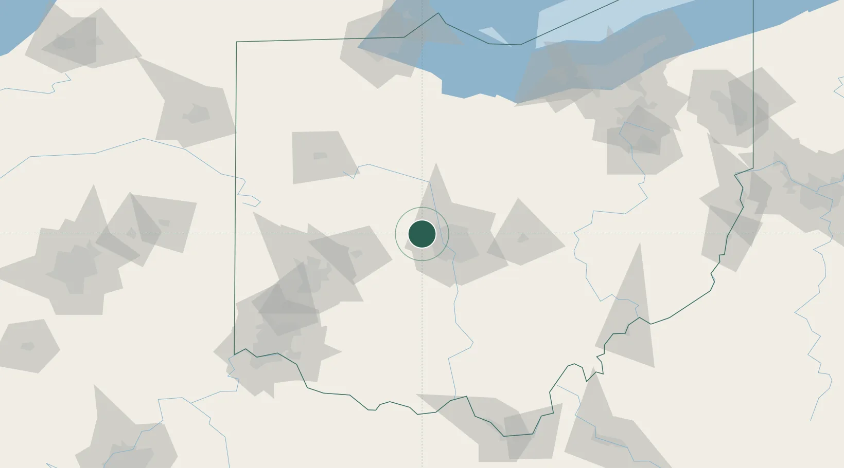
Plain City
40.1000°, -83.2667°
4,302
Population
2
Transport functions
Transport Functions
Rail
Road
Hub Profile
Place type
Populated place
Region
Ohio
Population
4,302
Time zone
America/New_York
Elevation
285 m
Location
Nearby Logistics Neighbours
Cities
- 1West Jefferson, Madison17 km
- 2Powell18 km
- 3Lewis Center25 km
- 4Urbancrest27 km
- 5Raymond31 km
Ports
- 1Huron157 km
- 2Sandusky157 km
- 3Port Clinton160 km
- 4Vermilion167 km
- 5Put In Bay177 km
Airports
Trade Zones
- 1FTZ No. 138 Franklin County42 km
- 2FTZ No. 054 Clinton County87 km
- 3FTZ No. 100 Dayton93 km
- 4FTZ No. 151 Findlay111 km
- 5FTZ No. 046 CIncinnati154 km
DatabookThe Record of Consolidated Knowledge
United States beyond logistics?