Transport Functions
Road
Multimodal
Hub Profile
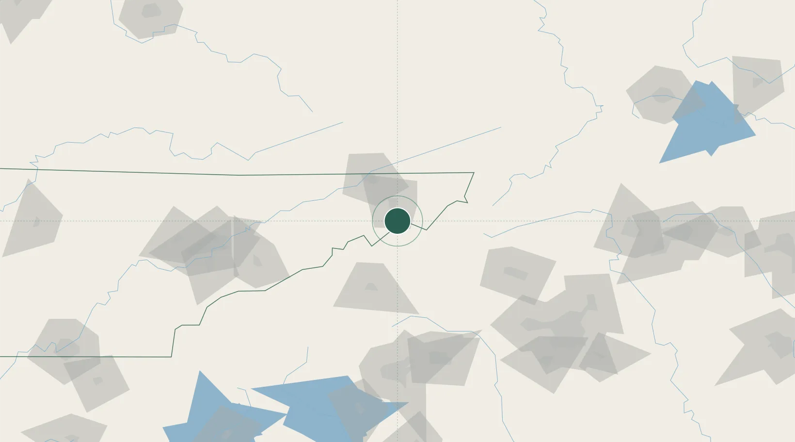
Place type
Populated place
Region
Tennessee
Population
3,561
Time zone
America/New_York
Elevation
586 m
Location
Nearby Logistics Neighbours
Cities
- 1Jonesborough16 km
- 2Piney Flats26 km
- 3Burnsville30 km
- 4Gray31 km
- 5Chuckey32 km
Ports
- 1Georgetown419 km
- 2Charleston438 km
- 3Beaufort444 km
- 4Port Royal451 km
- 5Southport467 km
Airports
Trade Zones
- 1FTZ No. 204 Tri-Cities34 km
- 2FTZ No. 038 Spartanburg County144 km
- 3FTZ No. 057 Mecklenburg County153 km
- 4FTZ No. 148 Knoxville172 km
- 5FTZ No. 238 Dublin178 km
DatabookThe Record of Consolidated Knowledge
United States beyond logistics?