Transport Functions
Rail
Road
Multimodal
Hub Profile
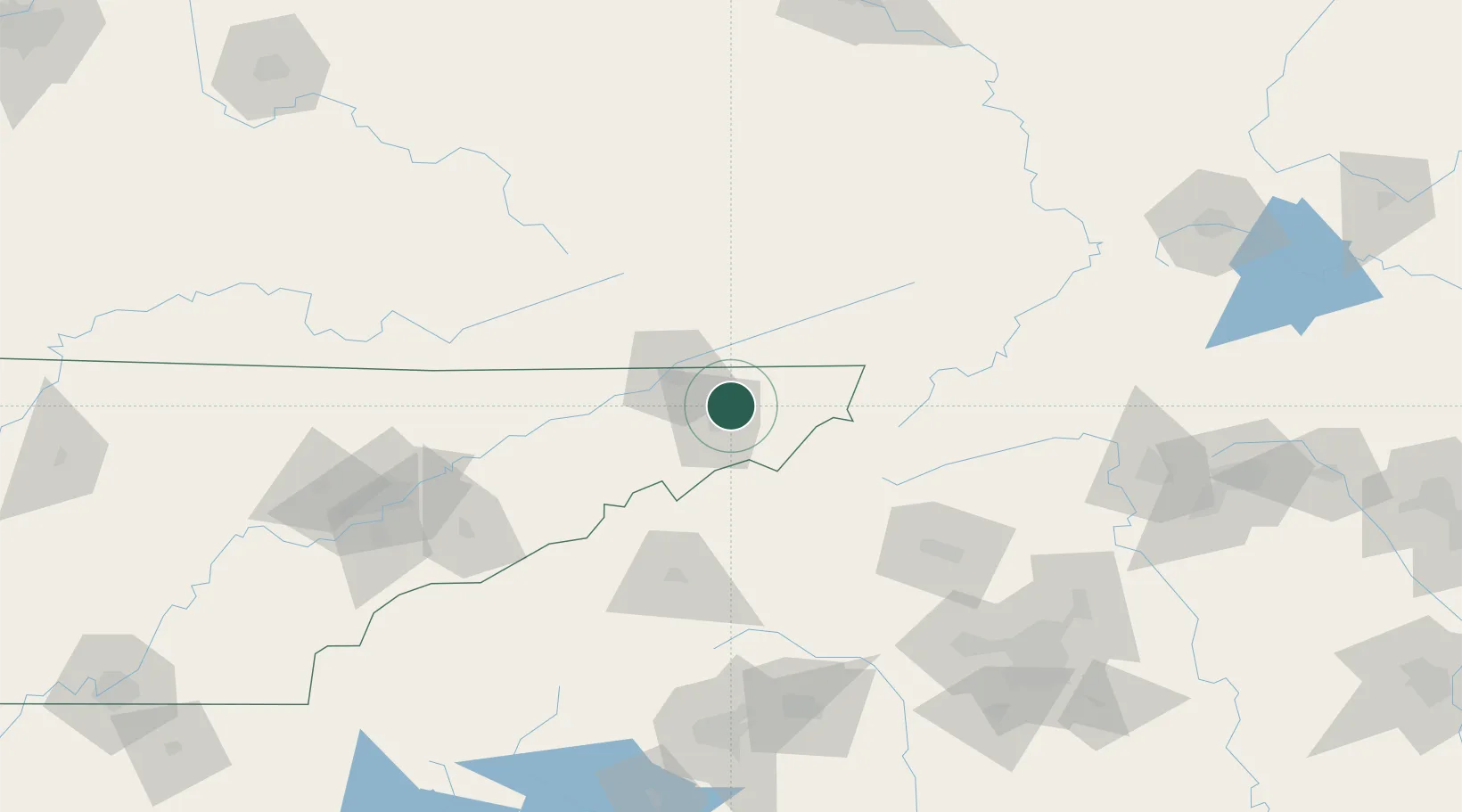
Place type
Populated place
Region
Tennessee
Time zone
America/New_York
Elevation
477 m
Location
Nearby Logistics Neighbours
Cities
- 1Bluff City6 km
- 2Blountville11 km
- 3Gray17 km
- 4Jonesborough21 km
- 5Bristol21 km
Ports
- 1Georgetown437 km
- 2Charleston459 km
- 3Beaufort468 km
- 4Port Royal474 km
- 5Southport478 km
Airports
- 1Tri-Cities Regional TN/VA Airport12 km
- 2Hickory Regional Airport111 km
- 3Asheville Regional Airport111 km
- 4Mercer County Airport138 km
- 5Julian Carroll Airport159 km
Trade Zones
- 1FTZ No. 204 Tri-Cities12 km
- 2FTZ No. 238 Dublin161 km
- 3FTZ No. 057 Mecklenburg County169 km
- 4FTZ No. 038 Spartanburg County170 km
- 5FTZ No. 148 Knoxville179 km
DatabookThe Record of Consolidated Knowledge
United States beyond logistics?