UN/LOCODE hub · United States
USBNI
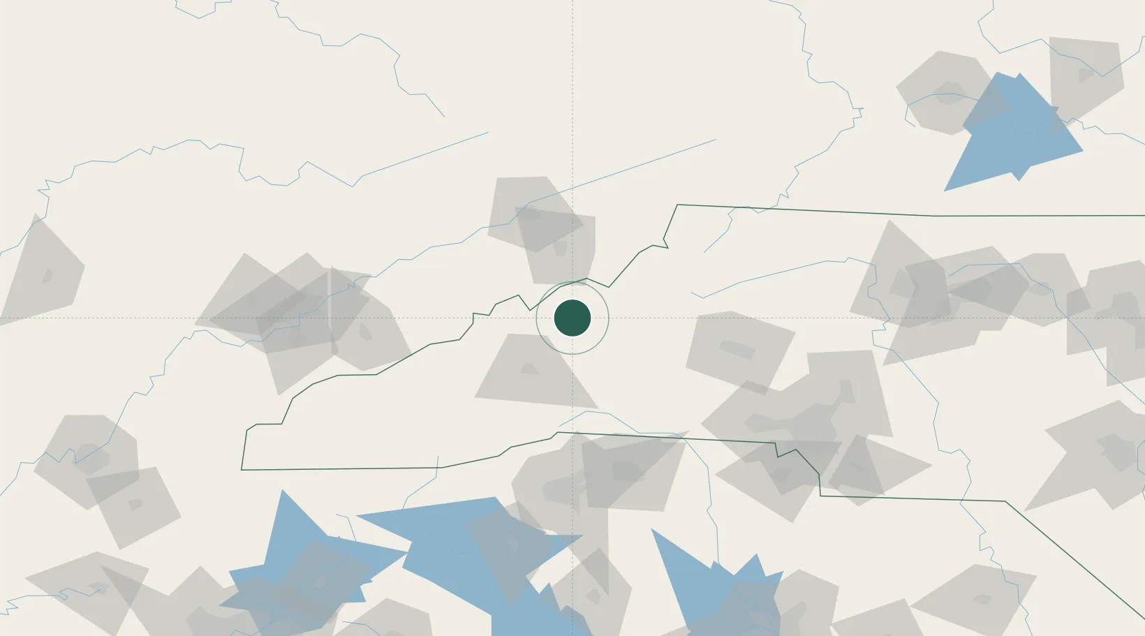
Burnsville
35.9167°, -82.3000°
1,660
Population
2
Transport functions
Transport Functions
Port
Road
Hub Profile
Place type
Provincial seat
Region
North Carolina
Population
1,660
Time zone
America/New_York
Elevation
861 m
Location
Nearby Logistics Neighbours
Cities
- 1Barnardsville22 km
- 2Unicoi30 km
- 3Marshall38 km
- 4Nebo, McDowell40 km
- 5Woodfin41 km
Ports
- 1Georgetown396 km
- 2Charleston411 km
- 3Beaufort415 km
- 4Port Royal422 km
- 5Wilmington438 km
Airports
Trade Zones
- 1FTZ No. 204 Tri-Cities64 km
- 2FTZ No. 038 Spartanburg County115 km
- 3FTZ No. 057 Mecklenburg County132 km
- 4FTZ No. 148 Knoxville174 km
- 5FTZ No. 238 Dublin194 km
DatabookThe Record of Consolidated Knowledge
United States beyond logistics?