Transport Functions
Rail
Road
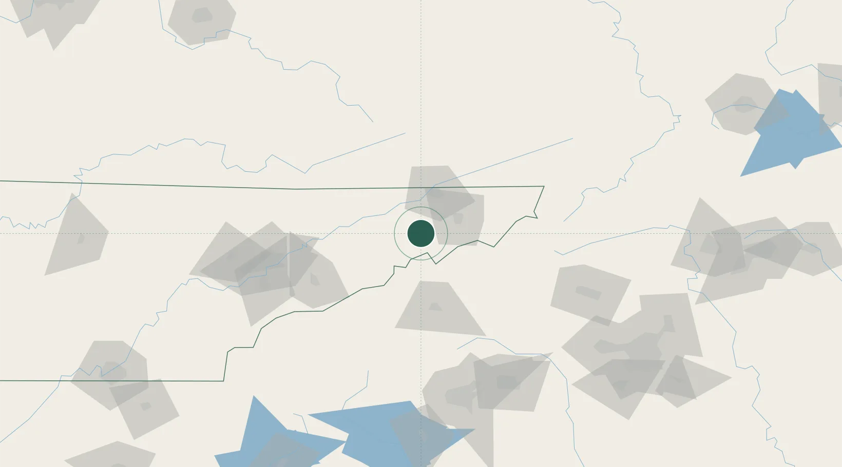
Hub Profile
Place type
Populated place
Region
Tennessee
Population
9,560
Time zone
America/New_York
Elevation
438 m
Location
Nearby Logistics Neighbours
Cities
- 1Jonesborough21 km
- 2Mosheim26 km
- 3Marvin27 km
- 4Gray30 km
- 5Unicoi32 km
Ports
- 1Georgetown444 km
- 2Charleston458 km
- 3Beaufort460 km
- 4Port Royal466 km
- 5Savannah483 km
Airports
Trade Zones
- 1FTZ No. 204 Tri-Cities38 km
- 2FTZ No. 148 Knoxville141 km
- 3FTZ No. 038 Spartanburg County153 km
- 4FTZ No. 057 Mecklenburg County179 km
- 5FTZ No. 238 Dublin202 km
DatabookThe Record of Consolidated Knowledge
United States beyond logistics?