UN/LOCODE hub · United States
USJBZ
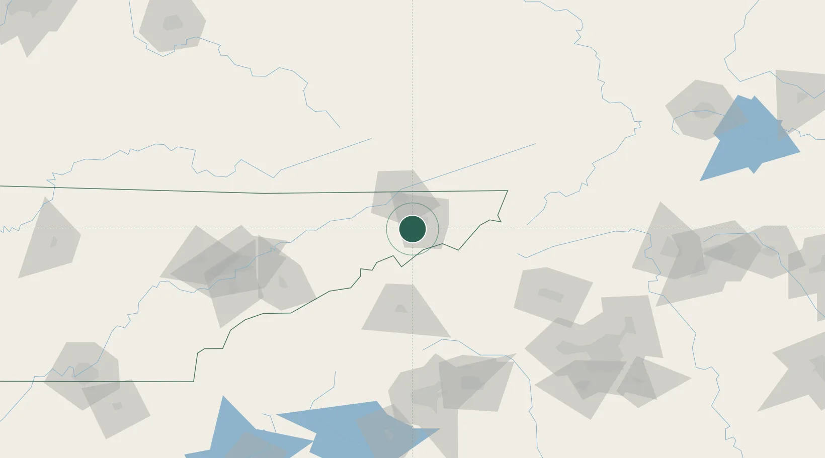
Jonesborough
36.2833°, -82.4667°
5,291
Population
2
Transport functions
Transport Functions
Road
Multimodal
Hub Profile
Place type
Provincial seat
Region
Tennessee
Population
5,291
Time zone
America/New_York
Elevation
516 m
Location
Nearby Logistics Neighbours
Cities
- 1Unicoi16 km
- 2Gray17 km
- 3Chuckey21 km
- 4Piney Flats21 km
- 5Bluff City27 km
Ports
- 1Georgetown435 km
- 2Charleston454 km
- 3Beaufort459 km
- 4Port Royal465 km
- 5Southport483 km
Airports
Trade Zones
- 1FTZ No. 204 Tri-Cities23 km
- 2FTZ No. 038 Spartanburg County156 km
- 3FTZ No. 148 Knoxville161 km
- 4FTZ No. 057 Mecklenburg County169 km
- 5FTZ No. 238 Dublin182 km
DatabookThe Record of Consolidated Knowledge
United States beyond logistics?