Transport Functions
Rail
Road
Multimodal
Hub Profile
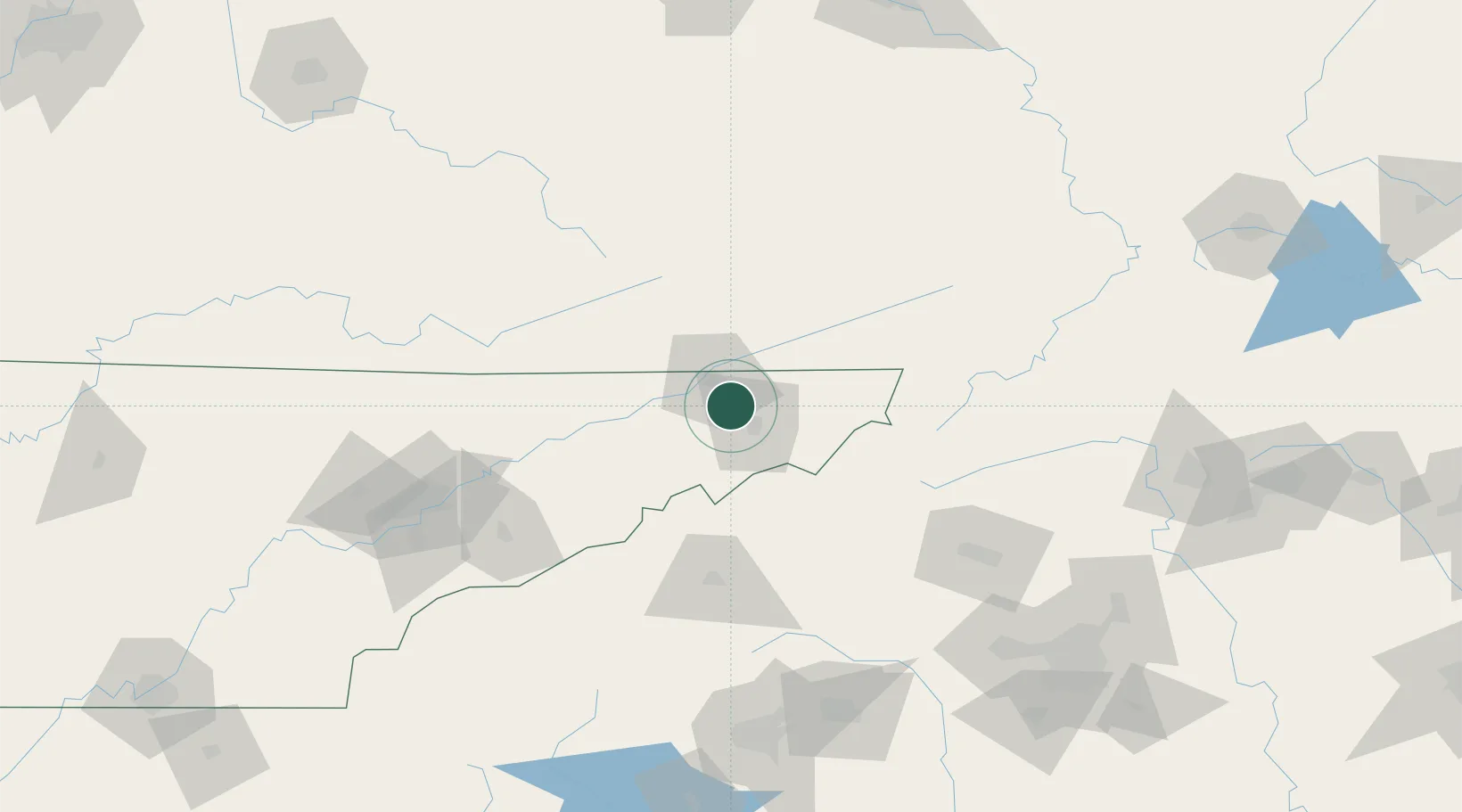
Place type
Populated place
Region
Tennessee
Population
1,222
Time zone
America/New_York
Elevation
480 m
Location
Nearby Logistics Neighbours
Cities
- 1Kingsport11 km
- 2Bristol-Johnson City-Kingsport (Tri-Cities Regional) Apt15 km
- 3Piney Flats17 km
- 4Jonesborough17 km
- 5Blountville18 km
Ports
- 1Georgetown449 km
- 2Charleston469 km
- 3Beaufort475 km
- 4Port Royal481 km
- 5Southport493 km
Airports
- 1Tri-Cities Regional TN/VA Airport8 km
- 2Asheville Regional Airport111 km
- 3Hickory Regional Airport125 km
- 4Mercer County Airport149 km
- 5Julian Carroll Airport149 km
Trade Zones
- 1FTZ No. 204 Tri-Cities9 km
- 2FTZ No. 148 Knoxville164 km
- 3FTZ No. 038 Spartanburg County173 km
- 4FTZ No. 238 Dublin175 km
- 5FTZ No. 057 Mecklenburg County182 km
DatabookThe Record of Consolidated Knowledge
United States beyond logistics?