UN/LOCODE hub · United States
USUAG
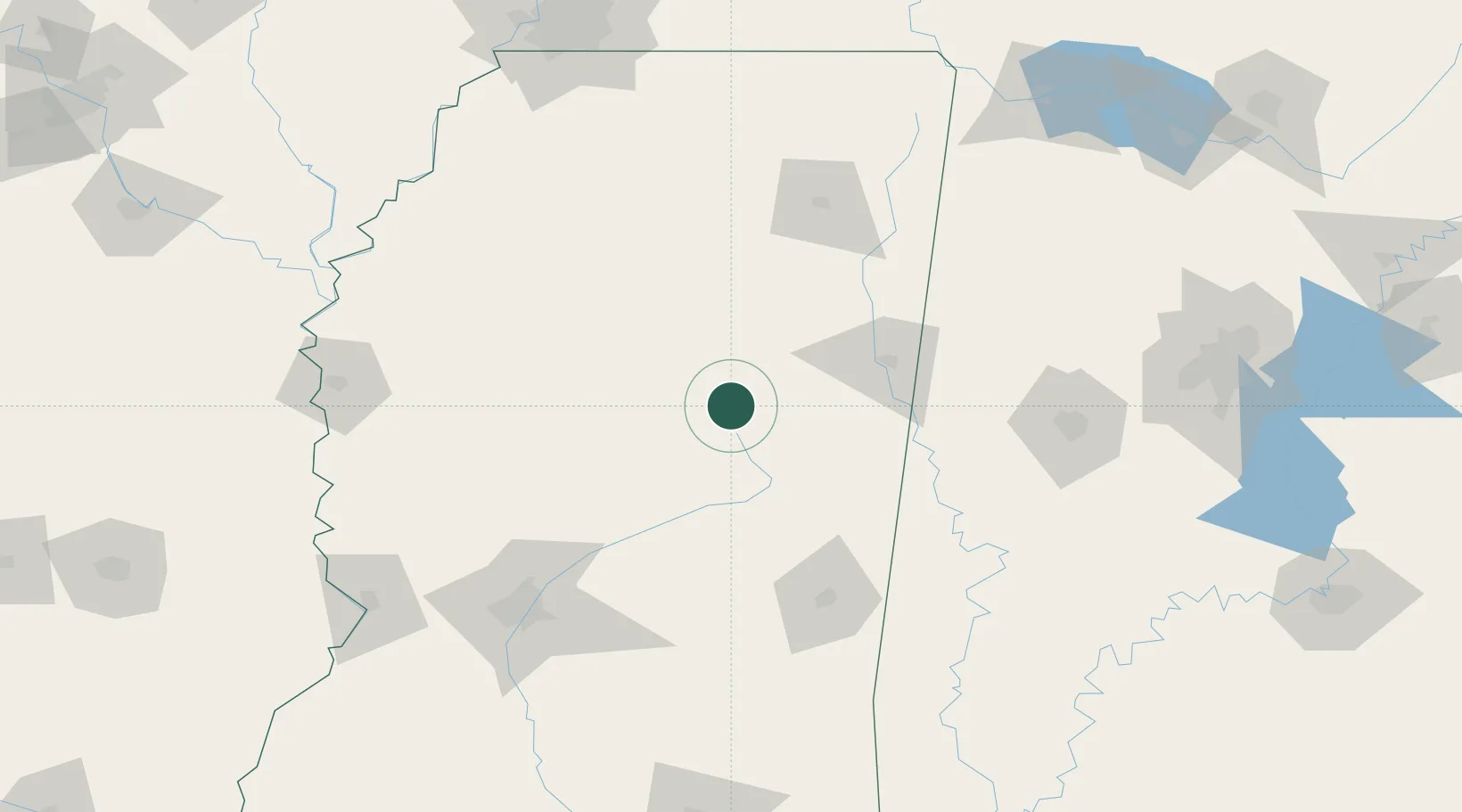
Ackerman
33.3000°, -89.1667°
1,482
Population
2
Transport functions
Transport Functions
Rail
Road
Hub Profile
Place type
Provincial seat
Region
Mississippi
Population
1,482
Time zone
America/Chicago
Elevation
159 m
Location
Nearby Logistics Neighbours
Ports
- 1Port Of Memphis217 km
- 2Mobile307 km
- 3Biloxi325 km
- 4Gulfport328 km
- 5Pascagoula333 km
Airports
Trade Zones
- 1FTZ No. 158 Vicksburg Jackson187 km
- 2FTZ No. 262 Southaven200 km
- 3FTZ No. 287 Tunica County205 km
- 4FTZ No. 098 Birmingham220 km
- 5FTZ No. 223 Memphis221 km
DatabookThe Record of Consolidated Knowledge
United States beyond logistics?