Transport Functions
Multimodal
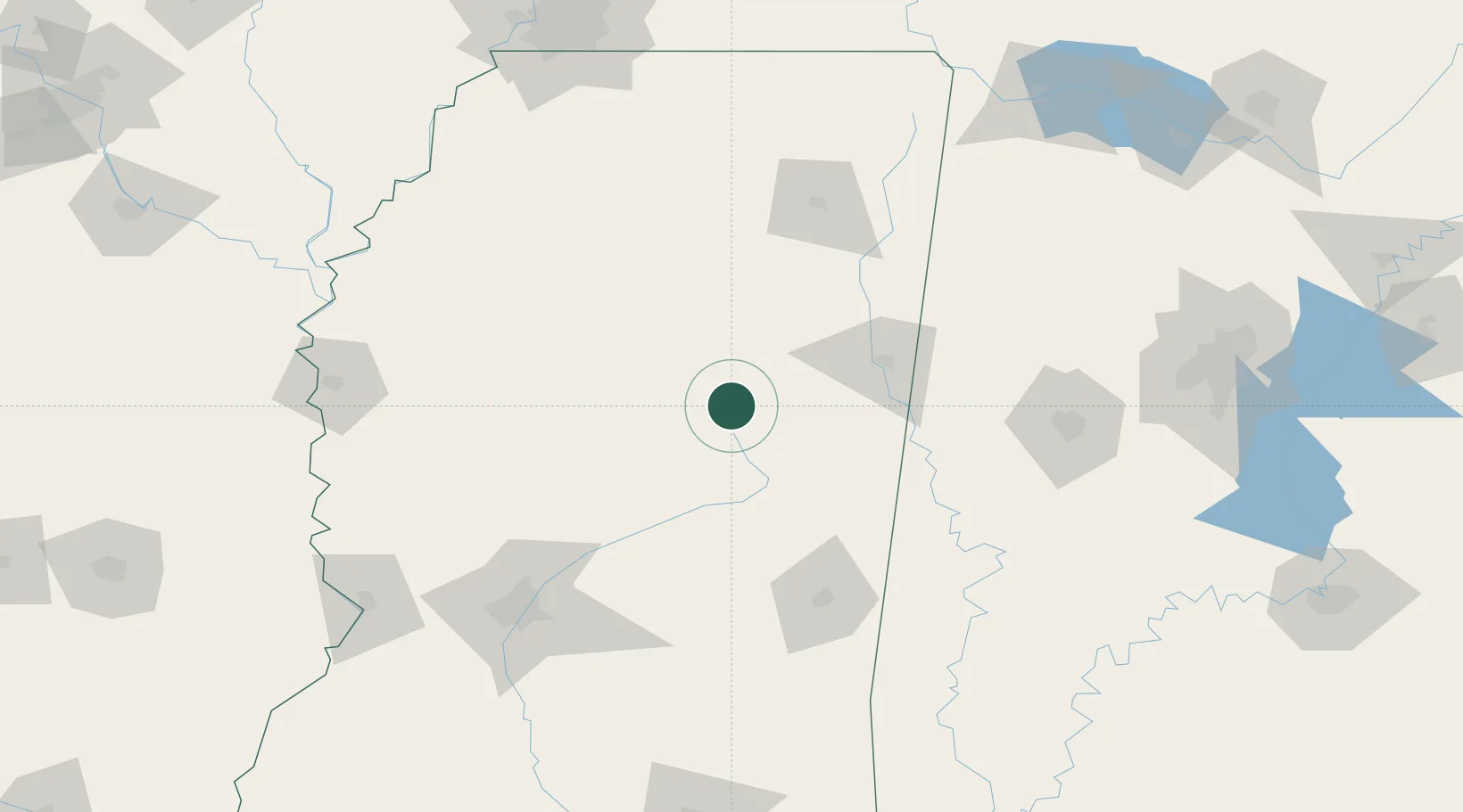
Hub Profile
Place type
Populated place
Region
Mississippi
Time zone
America/Chicago
Elevation
167 m
Location
Nearby Logistics Neighbours
Ports
- 1Port Of Memphis218 km
- 2Mobile307 km
- 3Biloxi325 km
- 4Gulfport328 km
- 5Pascagoula333 km
Airports
Trade Zones
- 1FTZ No. 158 Vicksburg Jackson188 km
- 2FTZ No. 262 Southaven201 km
- 3FTZ No. 287 Tunica County206 km
- 4FTZ No. 098 Birmingham219 km
- 5FTZ No. 223 Memphis222 km
DatabookThe Record of Consolidated Knowledge
United States beyond logistics?