Medium airport · United States

Greenwood–Leflore AirportKGWO
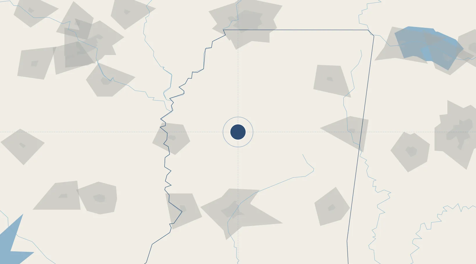
33.4950°, -90.0882°
6,501 ft
Longest runway
3
Runways
162 ft
Elevation

Runway & Layout

Greenwood–Leflore Airport runway & taxiway layout
Runway & taxiway layout — OpenStreetMap (ODbL) / OurAirports

Radio Frequencies

ASOS
119.975 MHz
TWR
118.35 MHz
GND
125.55 MHz
CLD
125.55 MHz
CLNC DEL
CTAF
118.35 MHz
CNTR
132.5 MHz
MEMPHIS CNTR
RDO
122.2 MHz
UNIC
122.95 MHz
UNICOM
OurAirports

Navaids

GW NDB Teock 349 kHz
SQS VORTAC Sidon 114.70 MHz
OurAirports

Runways · 3

RunwayDimensions SurfaceTrue headingLit
18/36 6,501 × 150ft Asphalt 181°
05/23 5,011 × 150ft Asphalt 052°
09/27 2,689 × 60ft Asphalt 087°
OurAirports

Airport Specifications

IATA code
GWO
OurAirports
ICAO code
KGWO
OurAirports
Airport class
Medium airport
OurAirports
Scheduled service
No
OurAirports
Runway surface
Asphalt
OurAirports
Served city
Greenwood
OurAirports

Location

Location of KGWO
Natural Earth 10m (public domain) · Mississippi · KGWO · 33.50, -90.09GoogleOSMYandex

Nearby Logistics Neighbours

Airports
  1. 1Mid Delta Regional Airport83 km
  2. 2University Oxford Airport111 km
  3. 3Jackson-Medgar Wiley Evers International Airport132 km
  4. 4Golden Triangle Regional Airport139 km
  5. 5Tupelo Regional Airport149 km
Nearest neighbours — logibook spatial index (haversine) over the source coordinates
Cities
  1. 1Money20 km
  2. 2Tchula37 km
  3. 3Lexington44 km
  4. 4Drew52 km
  5. 5Durant53 km
Nearest neighbours — logibook spatial index (haversine) over the source coordinates
Ports
  1. 1Port Of Memphis175 km
  2. 2Madisonville344 km
  3. 3Baton Rouge354 km
  4. 4Slidell360 km
  5. 5Gulfport362 km
Nearest neighbours — logibook spatial index (haversine) over the source coordinates
Trade Zones
  1. 1FTZ No. 287 Tunica County140 km
  2. 2FTZ No. 158 Vicksburg Jackson146 km
  3. 3FTZ No. 262 Southaven162 km
  4. 4FTZ No. 223 Memphis182 km
  5. 5FTZ No. 077 Memphis182 km
Nearest neighbours — logibook spatial index (haversine) over the source coordinates
DatabookThe Record of Consolidated Knowledge
United States beyond logistics?
Browse databook

All Sources

AirportsOurAirports
Public domain
Portsthe NGA World Port Index
Public domain (US gov)
LocationsUN/LOCODE
UN/LOCODE — free
Trade Zonesthe World Bank SEZ database
CC BY 4.0
Trade ZonesOpen Zone Map
CC BY
InfrastructureOpenStreetMap
ODbL 1.0
← United States airports