Transport Functions
Rail
Road
Airport
Multimodal
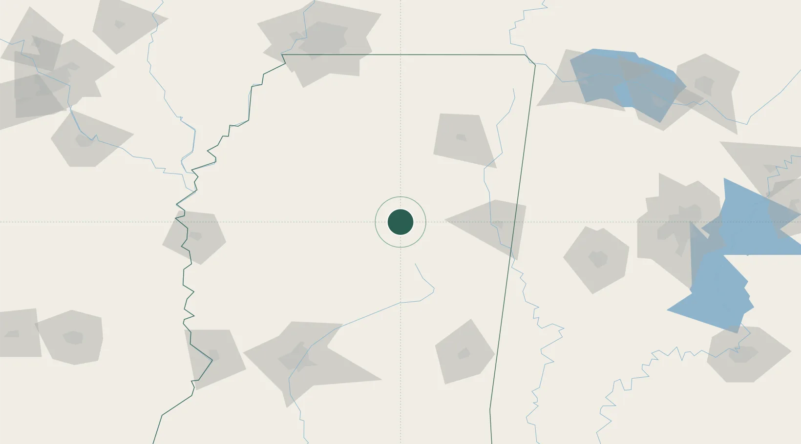
Hub Profile
Place type
Populated place
Region
Mississippi
Population
2,106
Time zone
America/Chicago
Elevation
117 m
Location
Nearby Logistics Neighbours
Cities
- 1Ackerman28 km
- 2Tuscan28 km
- 3East Prairie30 km
- 4Bruce53 km
- 5Artesia59 km
Ports
- 1Port Of Memphis190 km
- 2Mobile335 km
- 3Biloxi352 km
- 4Gulfport354 km
- 5Madisonville358 km
Airports
Trade Zones
- 1FTZ No. 262 Southaven173 km
- 2FTZ No. 287 Tunica County180 km
- 3FTZ No. 223 Memphis194 km
- 4FTZ No. 158 Vicksburg Jackson196 km
- 5FTZ No. 273 West Memphis198 km
DatabookThe Record of Consolidated Knowledge
United States beyond logistics?